What is an atmospheric river?
November 12, 2026
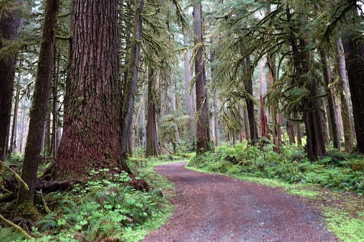
An atmospheric river is a long, narrow band of water vapor in the sky that carries moisture from the warm Pacific to the West Coast. When one reaches Washington it brings heavy rain, high snow levels and, in the strongest cases, floods. Most are weak and bring the rain and snow the state depends on. The strong ones close roads and trails.
This weekend (November 13 to 15, 2026)
KIRO Newsradio meteorologist Ted Buehner wrote on November 12 that the weekend storm “has characteristics of an atmospheric river,” with moisture from former Typhoon Cempaka. The National Weather Service in Seattle expects:
- Rain spreading inland Friday, then a stronger storm Saturday into Sunday.
- 1 to 3 inches of rain on the coast and half an inch to an inch inland over the weekend.
- Gusts of 40 to 50 mph on the coast and 30 to 40 mph inland, strongest Saturday night.
- A Flood Watch for Mason County, where the Skokomish River could flood.
- Snow levels falling from above 6,000 feet Sunday to about 4,000 feet Monday.
Each trailhead’s page here has its own forecast and any weather alerts for that spot.
A river in the sky
NOAA describes atmospheric rivers as long, narrow regions of the atmosphere that carry most of the water vapor outside the tropics. They are about 250 to 375 miles wide (400 to 600 km), according to NOAA’s Physical Sciences Laboratory. An average one carries about as much water, as vapor, as the Mississippi River pours out at its mouth. The strongest carry up to 15 times that.
A few of them bring much of the year’s water. NOAA says about 30 to 50 percent of the West Coast states’ yearly precipitation falls in just a few atmospheric river events. The best-known kind is the Pineapple Express, which brings moisture from the tropics near Hawaii.
How strong: the AR scale
Scientists at Scripps Institution of Oceanography’s Center for Western Weather and Water Extremes rank atmospheric rivers from 1 to 5. The rank depends on how much water vapor the storm carries and how long it stays over one place. A storm that passes in less than 24 hours drops one category, and one that stalls for more than 48 hours goes up one.
- AR 1, weak: primarily beneficial.
- AR 2, moderate: mostly beneficial, but also somewhat hazardous.
- AR 3, strong: a balance of beneficial and hazardous.
- AR 4, extreme: mostly hazardous, but also beneficial.
- AR 5, exceptional: primarily hazardous.
Washington gets an extreme atmospheric river about every two years, the U.S. Geological Survey says.
What they have done here
- November 2006, Mount Rainier. An atmospheric river brought warm air, high snow levels and heavy rain to Western Washington, the Washington State Climate Office wrote. Nearly 18 inches of rain fell at Paradise over November 6 and 7, the National Park Service says. The floods destroyed most of the park’s low trail bridges and two miles of the Carbon River road, and the park closed for six months.
- December 2025, Western Washington. A string of atmospheric rivers flooded rivers across the region. FOX Weather reported that the Snohomish River crested at a record 34.15 feet on December 11. About 20 state highways were closed across 11 counties, and a mudslide near Skykomish destroyed part of US 2.
What it means for a hike
- Rivers and creeks rise. A crossing that was easy in the morning can be fast and deep by afternoon. If the water looks fast or deep, turn around.
- Rain falls high on the mountains. With high snow levels, rain falls where snow usually would, so mountain creeks run high too. When the snow level drops behind the storm, the same trails can turn icy.
- Roads and trails wash out. Floods damage forest roads, river trails and bridges, as they did at Mount Rainier in 2006. Check the trailhead’s page for agency closures before you drive. Some closures come after the storm, once crews have checked.
- Hillsides slide. NOAA lists mudslides among the hazards of strong atmospheric rivers. Stay off steep, soaked slopes and away from the foot of them.
- Wind brings trees down. Wind can come with them, as it does this weekend. Skip forested trails during the strongest gusts, and look up before you pick a spot to stop.
- The coast can get big surf. This weekend the Weather Service has a High Surf Advisory for the coast. Stay off ocean beaches and logs until the waves drop.
Before you go
Open the trail’s page here. It shows the forecast at the trailhead, the snow level, Weather Service alerts such as flood watches, agency closures and what the last hiker saw. On a stormy weekend, pick a hike without river crossings, go between storms, and keep the rain-hiking basics in your pack.
Sources and further reading
- NOAA. “What are atmospheric rivers?” How much water they carry, the Pineapple Express, and their hazards.
- NOAA Physical Sciences Laboratory. “About Atmospheric Rivers.” Width and share of West Coast precipitation.
- U.S. Geological Survey. “New Scale to Characterize Strength and Impacts of Atmospheric River Storms.” February 2019. The AR 1 to 5 scale and how often Washington gets extreme ones.
- Washington State Climate Office. “El Niño Flooding: Flashback to November 2006.” November 2018.
- National Park Service. “November 2006 Flood.” Mount Rainier National Park.
- FOX Weather. “Historic flooding swamps Washington state, federal emergency declared ahead of another round of rain.” December 12, 2025.
- Ted Buehner, KIRO Newsradio. “Potential atmospheric river could bring heavy rain and blustery winds to western WA.” MyNorthwest, November 12, 2026.
- National Weather Service Seattle. Area Forecast Discussion, November 12, 2026.
- National Park Service. “Carbon River.” Source of the photo.