McClellan Butte Trail
Strenuous · Out-and-back · 10.6 mi round trip · 3,648 ft gain · 4½–6½ hr
Big viewsSummit or lookoutCampsites
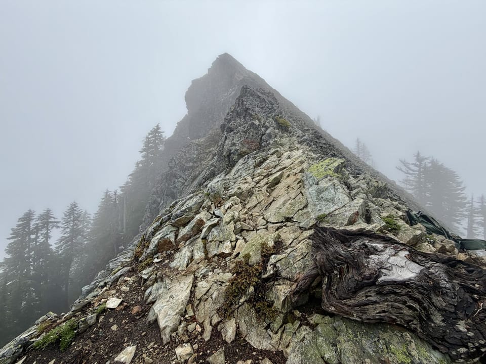
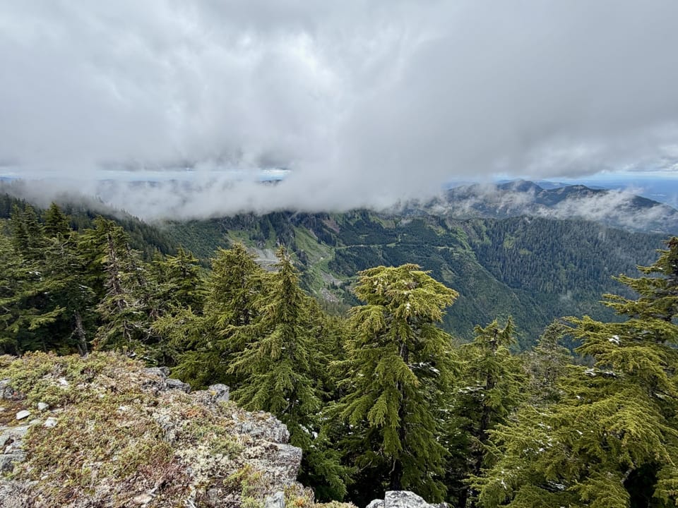
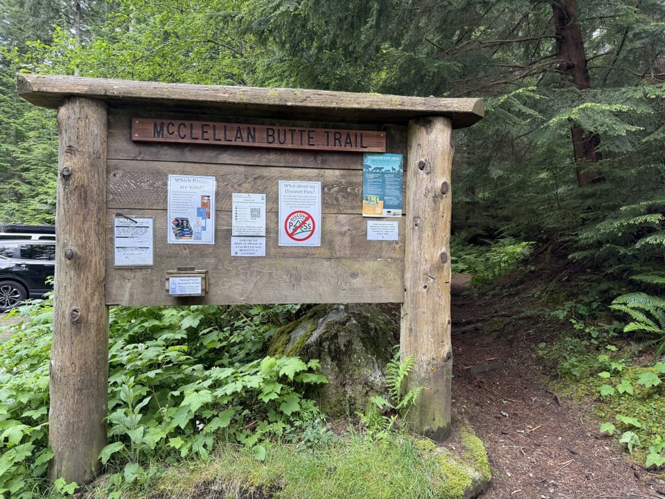
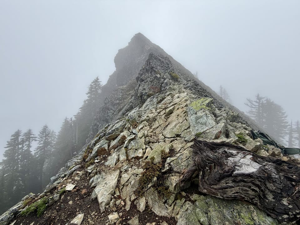
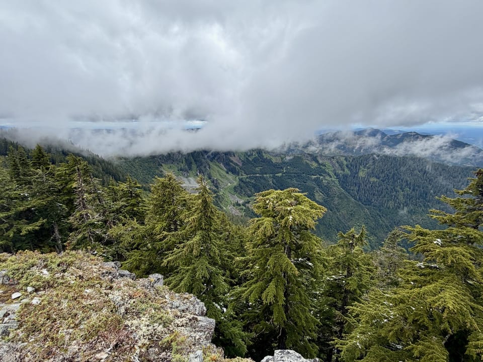
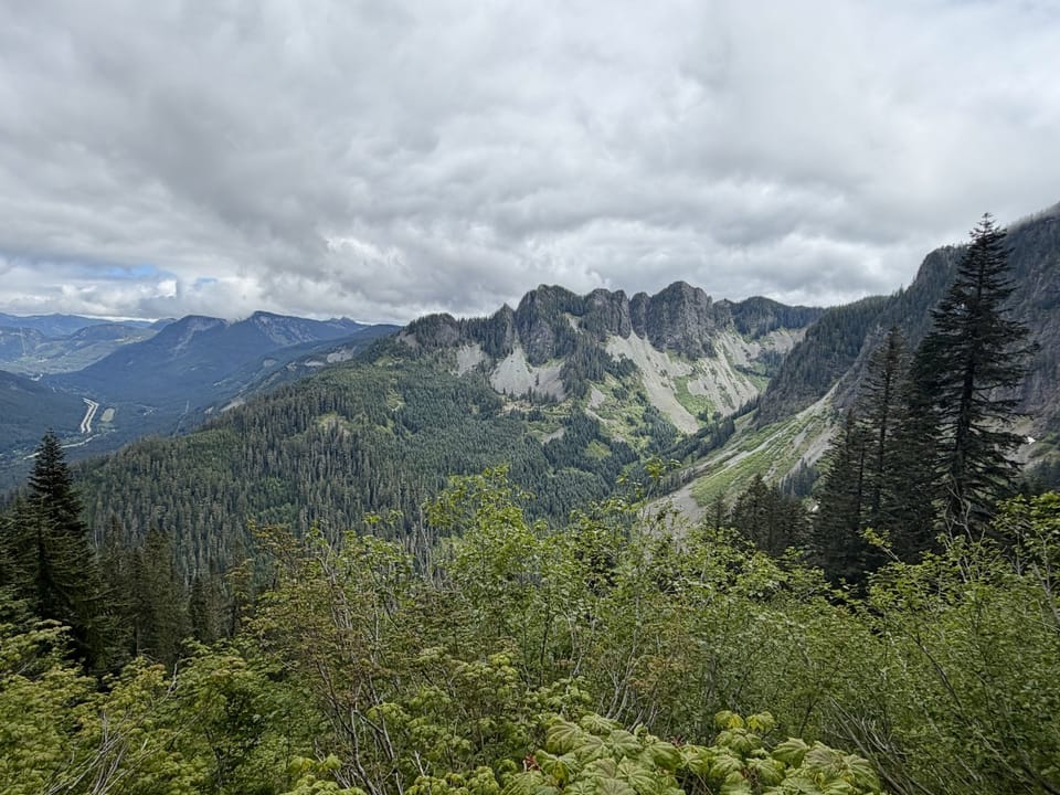
Photos: Forest Service / Andrea Kachulis · Public domain
A mountain trail with some steep or exposed sections. A long, demanding day; experienced hikers in good shape. Mountain bikes allowed.
No hiker reports in the last 3 days. Be the first to report here
At this trail
Dogs allowed Mountain bikes allowed Northwest Forest Pass Toilets (vault) Trash cans
I-90, Middle Fork and Highway 410, Mt. Baker-Snoqualmie National Forest U.S. Forest Service
Rules, passes and closures change. Check the official Forest Service site before you go.
Getting there
Starts at McClellan Butte Trailhead
Navigate to the trailhead: Google Maps · Apple Maps · coordinates 47.41213, -121.58912
Right now
Slight Chance Light Snow, wind 5 mph · Full forecast ›
Typical year: snowpack 0% of normal for the date · usually melted out by about May 4 · typical peak Mar 16
Eastbound: No restrictions · Westbound: No restrictions · Bare and dry, wet in places · 31°F · pass report ›
No reports in the last 3 days.
All conditions and reports at McClellan Butte Trailhead
Something wrong on this page? Suggest a correction.