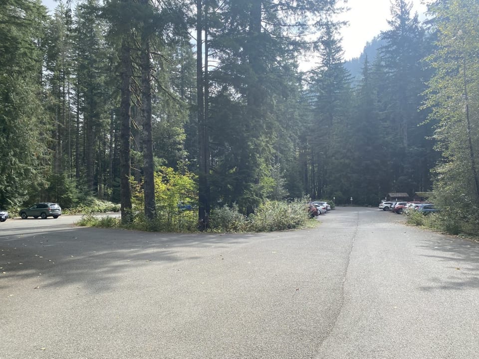
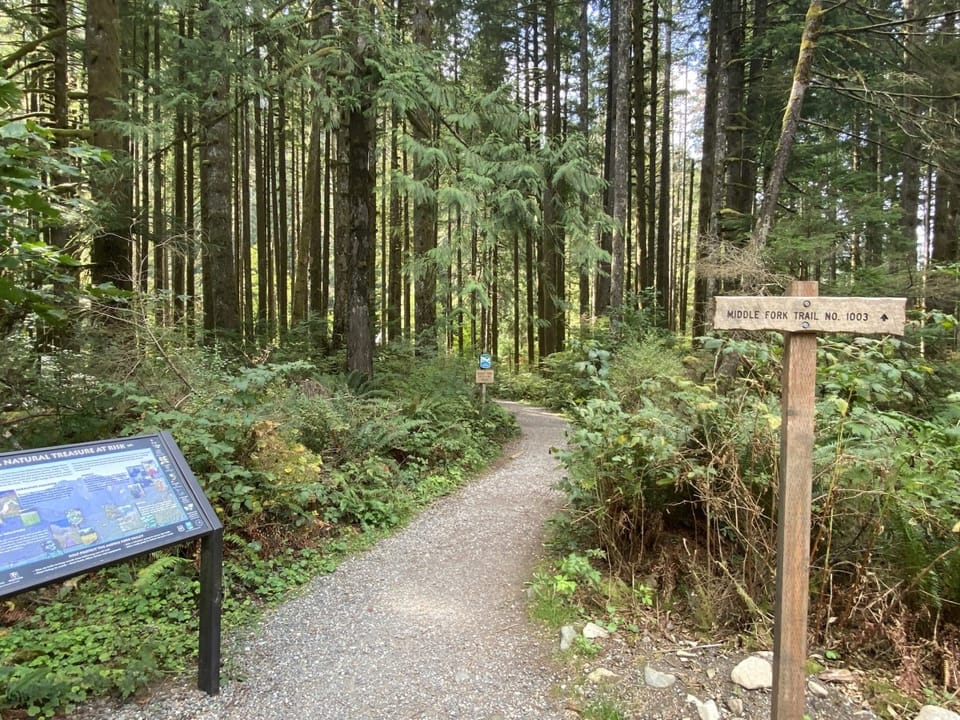
⚠ Road closed: Middle Fork Snoqualmie Road (Forest Service Road 56) is washed out at milepost 17.3, beyond the Middle Fork trailhead (June 30, 2026 notice); Dingford Creek, Goldmyer and the upper Middle Fork are a road walk from there. Forest Service Road 5730 is closed at MP 1.3 and Forest Service Road 9020 is closed by road damage. official status(checked 2026-10-05)
Navigate to the trailhead:Google Maps · Apple Maps · coordinates 47.54785, -121.53694
ℹ Middle Fork Nooksack (FSR 38) Road ClosureMiddle Fork Nooksack Road (FSR) 38 is closed at Mile Post 7 due to a washout. Access to Elbow Lake 697 (Pioneer Camp) and Ridley Creek Trail 696 is blockedForest Service · Jul 27 · details ›
ℹ Middle Fork Camping ClosureDispersed camping is prohibited along part of Forest Road 56 and 5640, in a corridor adjacent to the Wild and Scenic Middle Fork Snoqualmie River. The purpose of the camping restriction is to reduce recreation-related…Forest Service · Jun 1 · details ›
WildfireKing fire, 23 km away, 3,427 acres, 95% contained
Snow0″ snow at Skookum Creek (3,320 ft, 16.1 km away) Typical year: snowpack 29% of normal for the date · usually melted out by about May 26 · typical peak Apr 8
Snow levelabout 2,600 ft now · 2,000–5,300 ft over the next three days
PassSnoqualmie Pass I-9018 km Eastbound: No restrictions · Westbound: No restrictions · Bare and dry, wet in places · 31°F · pass report ›
Cameras
I-90 at MP 37.75: Homestead Valley Rd · 15 km ›I-90 at MP 51.3: Franklin Falls · 16 km ›