Mount Si Old Trail
Strenuous · Out-and-back · 6.6 mi round trip · 3,681 ft gain · 3½–4¾ hr
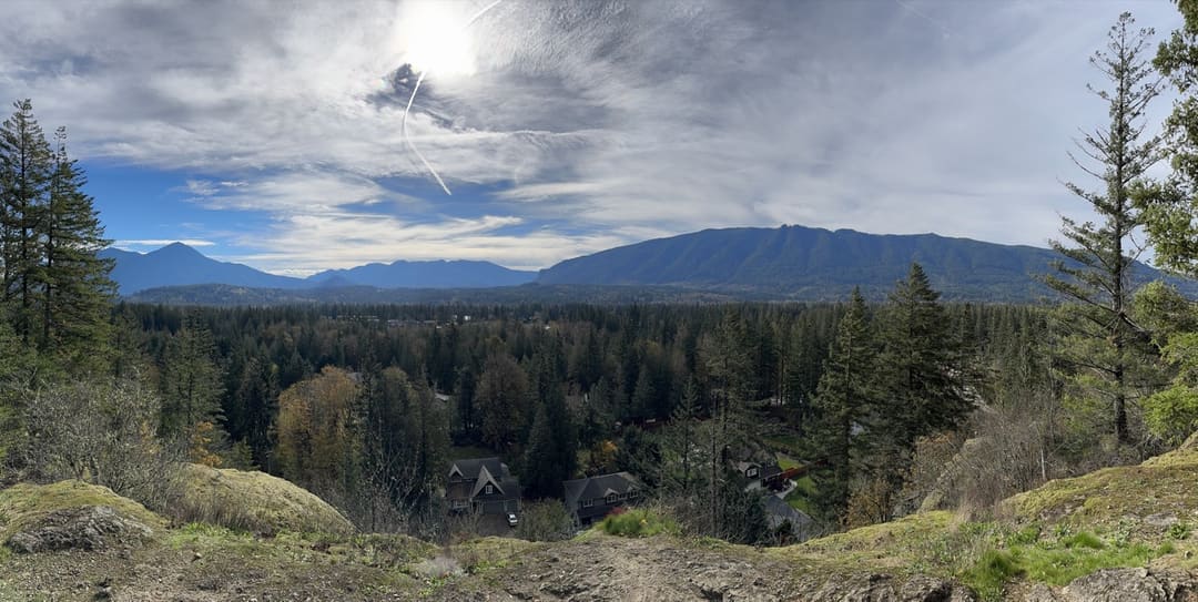
Big viewsSummit or lookout
Parkingnot reported today
Alpine terrain with some scrambling. Steep: about 1,100 ft of climbing per mile. A long, demanding day; experienced hikers in good shape. Dogs on leash, no bikes.
No hiker reports in the last 3 days. Be the first to report here
At this trail
Dogs on leash No bikes Discover Pass Toilets (vault) Trash cans
Official pageDNR ›
Getting there
Starts at Little Si Trailhead · 4 other trails start here
Navigate to the trailhead: Google Maps · Apple Maps · coordinates 47.48679, -121.75343
Right now
TodayAM47°29%
TonightPM35°31%
MonAM47°62%
MonPM39°70%
TueAM48°76%
TuePM41°82%
WedAM52°66%
WedPM43°97%
Chance Light Rain, wind 1 to 5 mph · Full forecast ›
Daylight7:22 am 4:24 pm
Air qualityAQI 16 Good
WildfireKing fire, 37 km away, 3,427 acres, 95% contained
Snow1″ snow at Mount Gardner (2,930 ft, 20 km away)
Typical year: snowpack 0% of normal for the date · usually melted out by about May 4 · typical peak Mar 16
Snow levelabout 2,200 ft now · 2,200–5,900 ft over the next three days
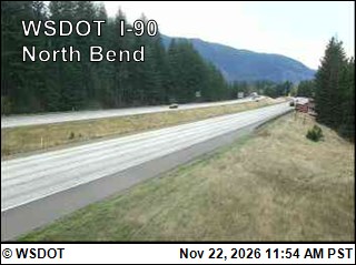
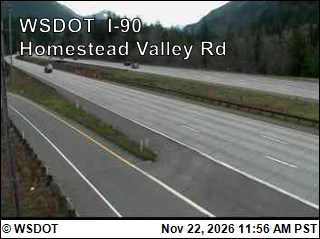
PassSnoqualmie Pass I-90 27 km
Eastbound: No restrictions · Westbound: No restrictions · Bare and dry, wet in places · 31°F · pass report ›
No reports in the last 3 days.
All conditions and reports at Little Si Trailhead
Something wrong on this page? Suggest a correction.