Washington Trail Conditions

← All trailheads

Rattlesnake Ledge Trail

Moderate · Out-and-back · 3.8 mi round trip · 1,141 ft gain · 1½–2¼ hr

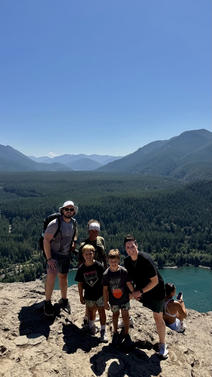
Big views

EF
Parkingnot reported today
August 2025Photo: Jesse (site owner)

A well-marked trail. A solid half-day for most hikers. No bikes.

9002,100 0 mi 1.9 mi

Open the map ›

No hiker reports in the last 3 days. Be the first to report here

At this trail

Dogs on leash No bikes No fee or pass Toilets

Pack it out.

Getting there

Starts at Rattlesnake Ledge Trailhead · 1 other trail starts here

Navigate to the trailhead: Google Maps · Apple Maps · coordinates 47.43564, -121.77165

Right now

Open in the app to report

TodayAM43°30%
TonightPM34°28%
MonAM43°71%
MonPM37°70%
TueAM43°77%
TuePM38°80%
WedAM48°65%
WedPM41°97%

Chance Rain And Snow, wind 1 to 5 mph · Full forecast ›

Daylight7:21 am 4:24 pm
Air qualityAQI 16 Good
WildfireThree Queens fire, 38 km away, 9,575 acres, 95% contained
Snow1″ snow at Mount Gardner (2,930 ft, 17.6 km away)
Typical year: snowpack 0% of normal for the date · usually melted out by about May 4 · typical peak Mar 16
Snow levelabout 2,100 ft now · 2,100–5,900 ft over the next three days
PassSnoqualmie Pass I-90 28 km
Eastbound: No restrictions · Westbound: No restrictions · Bare and dry, wet in places · 31°F · pass report ›
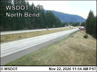
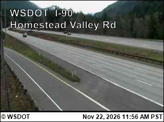
Cameras
I-90 at MP 33.2: North Bend
I-90 at MP 33.2: North Bend · 5 km ›
I-90 at MP 37.75: Homestead Valley Rd
I-90 at MP 37.75: Homestead Valley Rd · 8 km ›
No reports in the last 3 days.

All conditions and reports at Rattlesnake Ledge Trailhead

Something wrong on this page? Suggest a correction.