Washington Trail Conditions

← All trailheads

Twin Falls Trail

Easy · Out-and-back · 4 mi round trip · 348 ft gain · 1½–2 hr

WaterfallRiver or creek

EF
Parkingnot reported today
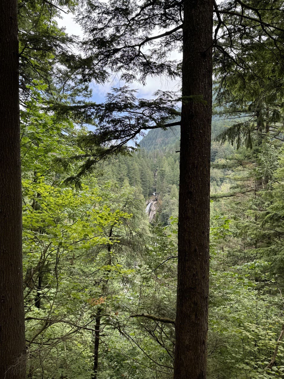
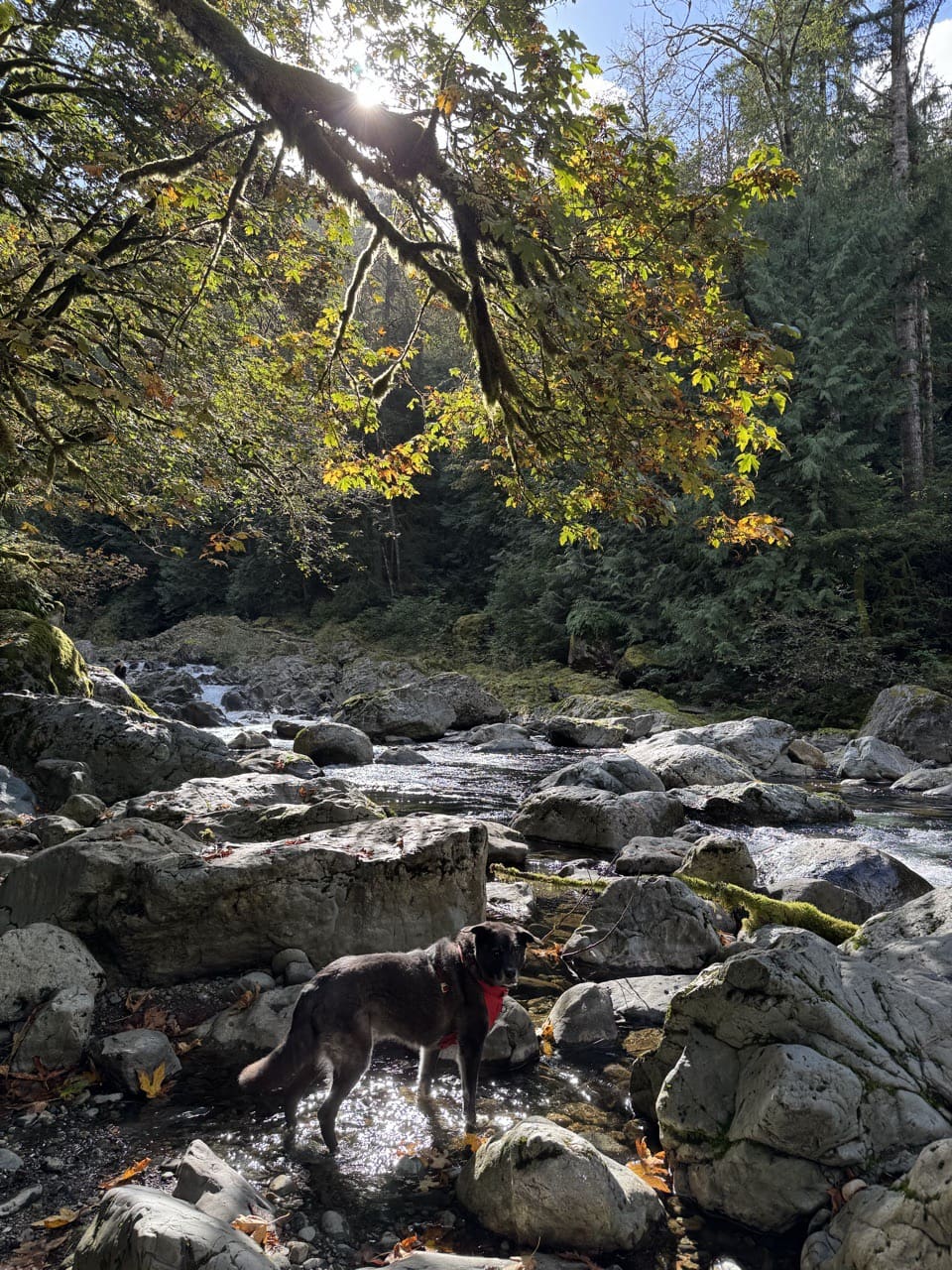
August 2024Photo: Jesse (site owner)November 2025Photo: Jesse (site owner)

A well-marked trail. Good for families, first hikes and short outings. No bikes.

600900 0 mi 1.05 mi

Open the map ›

No hiker reports in the last 3 days. Be the first to report here

At this trail

Dogs on leash Not wheelchair accessible No bikes Discover Pass Toilets

Pack it out.

Getting there

Starts at Olallie State Park Twin Falls Trailhead

Navigate to the trailhead: Google Maps · Apple Maps · coordinates 47.45262, -121.70545

Right now

Open in the app to report

⚠ Part of the Park is ClosedThe Lower Falls Viewpoint on the Twin Falls Trail is currently closed due to structural damaged sustained during a recent stormWashington State Parks · Mar 16 · details ›
TodayAM46°28%
TonightPM35°32%
MonAM46°66%
MonPM38°70%
TueAM47°78%
TuePM39°82%
WedAM51°65%
WedPM42°97%

Chance Light Rain, wind 3 mph · Full forecast ›

Daylight7:21 am 4:24 pm
Air qualityAQI 16 Good
WildfireKing fire, 34 km away, 3,427 acres, 95% contained
Snow1″ snow at Mount Gardner (2,930 ft, 14.8 km away)
Typical year: snowpack 0% of normal for the date · usually melted out by about May 4 · typical peak Mar 16
Snow levelabout 2,100 ft now · 2,100–5,800 ft over the next three days
PassSnoqualmie Pass I-90 23 km
Eastbound: No restrictions · Westbound: No restrictions · Bare and dry, wet in places · 31°F · pass report ›
Cameras
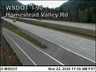
I-90 at MP 37.75: Homestead Valley Rd
I-90 at MP 37.75: Homestead Valley Rd · 3 km ›
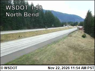
I-90 at MP 33.2: North Bend
I-90 at MP 33.2: North Bend · 4 km ›
No reports in the last 3 days.

All conditions and reports at Olallie State Park Twin Falls Trailhead

Something wrong on this page? Suggest a correction.