Adventure Trail
Easy · Out-and-back · 1.6 mi round trip · 133 ft gain · 35–45 min
Parkingnot reported today
Good for families, first hikes and short outings.
No hiker reports in the last 3 days. Be the first to report here
At this trail
Trash cans
Getting there
Starts at Senator Bill Ramos Memorial Trailhead · 2 other trails start here. Also reachable from Tiger Mountain Trailhead
Navigate to the trailhead: Google Maps · Apple Maps · coordinates 47.52970, -122.02494
Right now
TodayAM47°29%
TonightPM39°29%
MonAM49°86%
MonPM43°70%
TueAM49°70%
TuePM44°76%
WedAM54°69%
WedPM46°96%
Chance Light Rain, wind 1 to 5 mph · Full forecast ›
Daylight7:23 am 4:25 pm
Air qualityAQI 16 Good
WildfireKing fire, 58 km away, 3,427 acres, 95% contained
Snow levelabout 2,400 ft now · 2,400–5,800 ft over the next three days
Cameras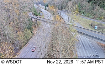
I-90 at MP 18: Sunset Way · 0 km › 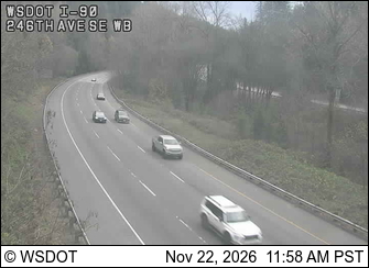
I-90 at MP 18.6: 246th Ave SE, WB · 1 km ›
No reports in the last 3 days.
All conditions and reports at Senator Bill Ramos Memorial Trailhead
Something wrong on this page? Suggest a correction.