Washington Trail Conditions

← All trailheads

Baker River Trail

Moderate · Out-and-back · 5.2 mi round trip · 151 ft gain · 1½–2¼ hr

Campsites

EF
Parkingnot reported today
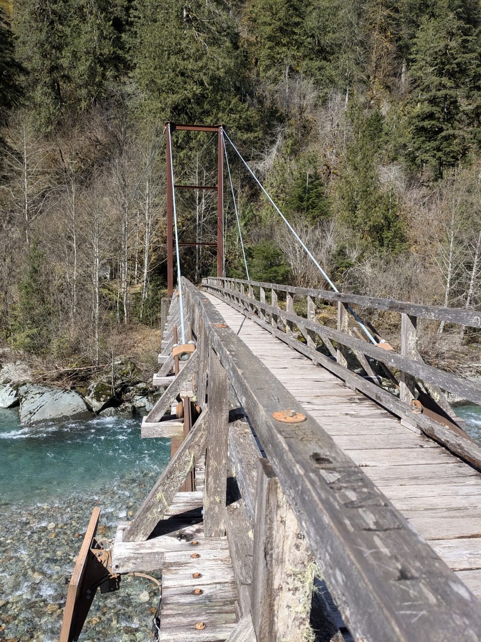
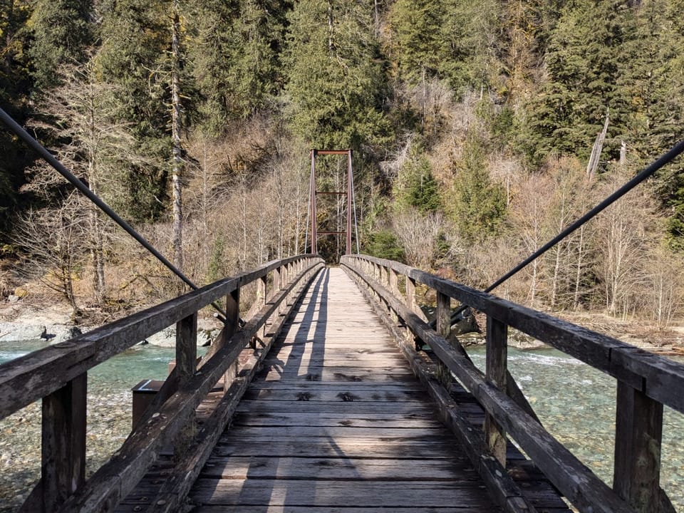
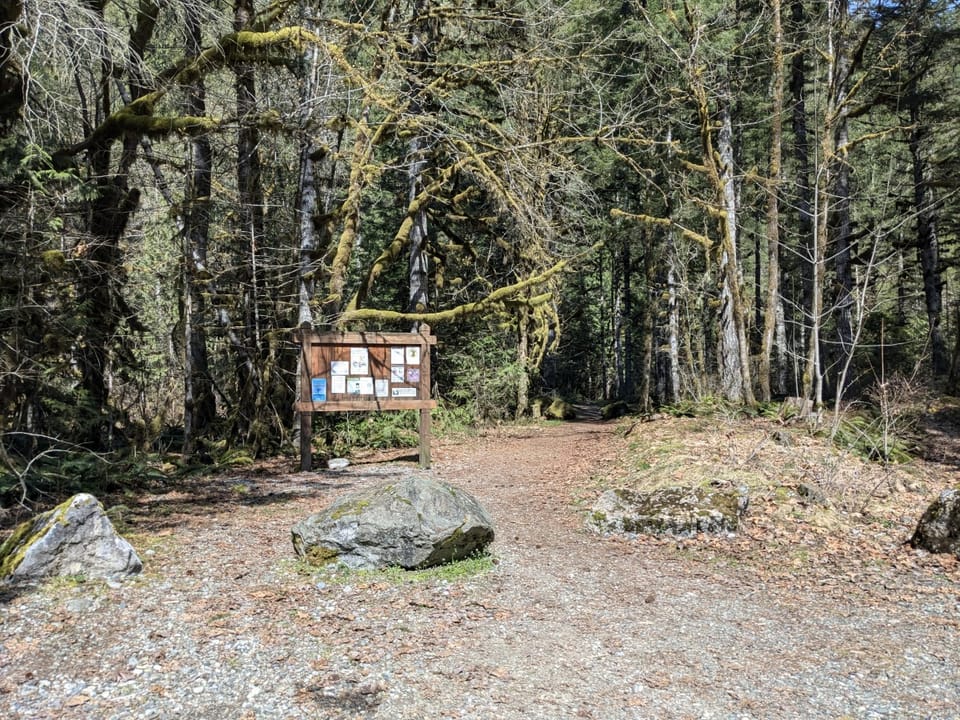
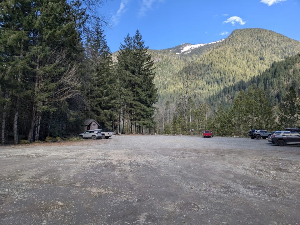
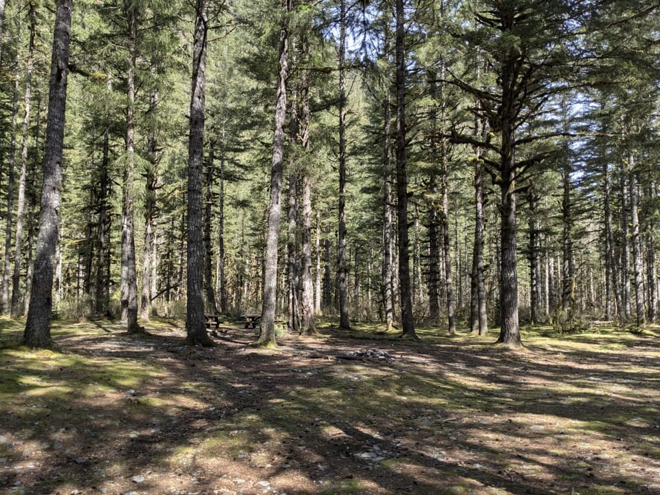
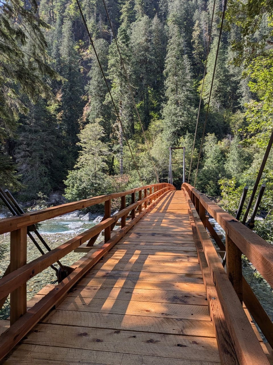
Baker River Bridge, new construction 2026Baker River Suspension Bridge, Mt. Baker Ranger DistrictBaker River Suspension Bridge, Mt. Baker Ranger DistrictBaker River Trailhead, Mt. Baker Ranger DistrictBaker River Trailhead Parking LotDay Use Area at Baker River Trailhead

Photos: Forest Service / Chelsea Kollmar · Public domain

A solid half-day for most hikers. No bikes.

800900 0 mi 2.57 mi

Open the map ›

No hiker reports in the last 3 days. Be the first to report here

At this trail

Dogs allowed No bikes Northwest Forest Pass Toilets (vault)

Pack it out.

Official pageForest Service › record checked 2026-10-06
Fee$5/vehicle/day
PermitsDay hikes: none. Overnight: wilderness permit.
AreaMount Baker Ranger District ›
Mt. Baker-Snoqualmie National Forest U.S. Forest Service

Rules, passes and closures change. Check the official Forest Service site before you go.

Getting there

Starts at Baker River Trailhead · 1 other trail starts here

Navigate to the trailhead: Google Maps · Apple Maps · coordinates 48.75062, -121.55587

Right now

Open in the app to report

⚠ Effective Oct. 25, 2026, State Route 542/Road to Artist Point has closed for the season. The final 2.7-mile section of the road, known as the Road to Artist PoiWSDOT · 15 km · Oct 25 · details ›
TodayAM43°41%
TonightPM34°31%
MonAM43°100%
MonPM37°61%
TueAM45°87%
TuePM41°94%
WedAM47°85%
WedPM42°98%

Chance Rain And Snow, wind 2 mph · Full forecast ›

Daylight7:25 am 4:19 pm
Air qualityAQI 31 Good
Snow0″ snow at Marten Ridge (3,520 ft, 10.5 km away)
Typical year: snowpack 0% of normal for the date · usually melted out by about Jun 26 · typical peak Apr 16
Snow levelabout 1,900 ft now · 1,600–4,700 ft over the next three days
PassMt. Baker Hwy SR 542 15 km
Eastbound: Traction Tires Advised, Oversize Vehicles Prohibited. · Westbound: Traction Tires Advised, Oversize Vehicles Prohibited. · Snow and ice in places. · 29°F · pass report ›
Cameras
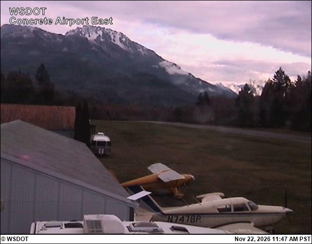
Mears Field (Concrete) Airport East
Mears Field (Concrete) Airport East · 29 km ›
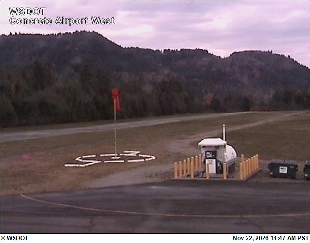
Mears Field (Concrete) Airport West
Mears Field (Concrete) Airport West · 29 km ›
No reports in the last 3 days.

All conditions and reports at Baker River Trailhead

Something wrong on this page? Suggest a correction.