Big Four Ice Caves Trail
Easy · Out-and-back · 2.2 mi round trip · 231 ft gain · 45 min–1 hr
Parkingnot reported today
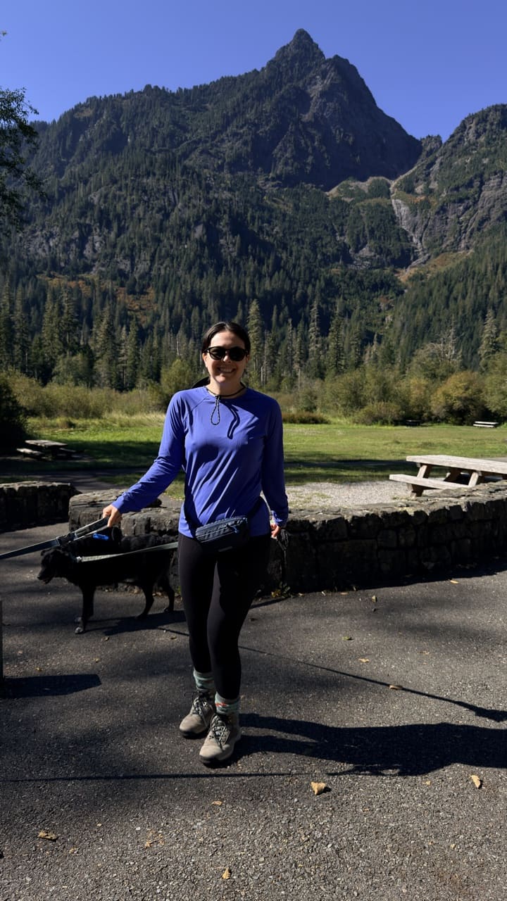
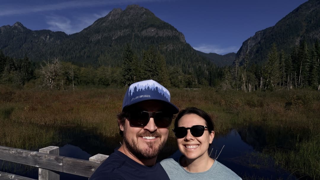
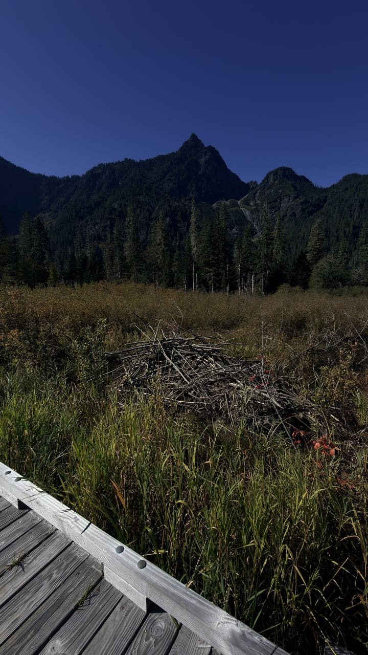
Good for families, first hikes and short outings.
No hiker reports in the last 3 days. Be the first to report here
At this trail
Dogs allowed Northwest Forest Pass Toilets Trash cans
Official pageForest Service › record checked 2026-10-06
Fee$5/vehicle/day or the Northwest Forest Pass or Interagency Pass
Noteaccess: No. of Accessible sites 4 No. of Sites 16
RestrictionsPlease access the trail from the Ice Caves trailhead parking area. Dogs on leash/day use only
PermitsDay hikes: none. Overnight: wilderness permit.
AreaMountain Loop Scenic Byway ›
Darrington Ranger District, Mt. Baker-Snoqualmie National Forest U.S. Forest Service
Darrington Ranger District, Mt. Baker-Snoqualmie National Forest U.S. Forest Service
Officialconditions › · roads › · fees ›
Rules, passes and closures change. Check the official Forest Service site before you go.
Getting there
Starts at Ice Caves Trailhead
Navigate to the trailhead: Google Maps · Apple Maps · coordinates 48.06783, -121.51423
Right now
TodayAM42°37%
TonightPM33°31%
MonAM43°91%
MonPM36°59%
TueAM44°86%
TuePM38°93%
WedAM47°79%
WedPM40°97%
Chance Rain And Snow, wind 5 mph · Full forecast ›
Daylight7:23 am 4:21 pm
Air qualityAQI 39 Good
WildfireSisi fire, 59 km away, 4,816 acres, 90% contained
Snow0″ snow at Decline Creek (4,480 ft, 19.2 km away)
Snow levelabout 1,900 ft now · 1,700–5,200 ft over the next three days
Winter roadMountain Loop Highway is closed to vehicles between the Deer Creek and Bedal gates, normally from early November to the end of May. The closed stretch stays open for walking, snowshoeing and skiing. Snohomish County and the Forest Service ›
Cameras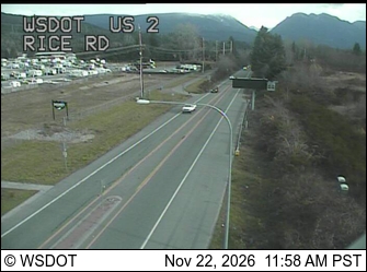
US 2 at MP 24.2: Rice Rd · 30 km ›
No reports in the last 3 days.
All conditions and reports at Ice Caves Trailhead
Something wrong on this page? Suggest a correction.