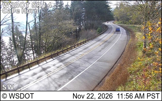
Cape Horn Loop Trail
Moderate · Loop · 6.5 mi loop · 1,285 ft gain · 2½–3¼ hr
Big viewsWaterfall
Parkingnot reported today
A solid half-day for most hikers. Mountain bikes allowed.
No hiker reports in the last 3 days. Be the first to report here
At this trail
Mountain bikes allowed Toilets
Pack it out.
Getting there
Starts at Cape Horn Trailhead. Also reachable from Cape Horn Upper Trailhead, Cape Horn West Trailhead
Navigate to the trailhead: Google Maps · Apple Maps · coordinates 45.58933, -122.17852
Right now
TodayAM43°47%
TonightPM35°40%
MonAM40°77%
MonPM38°39%
TueAM42°79%
TuePM41°79%
WedAM48°70%
WedPM45°93%
Chance Light Rain then Mostly Cloudy, wind 6 to 10 mph · Full forecast ›
Daylight7:17 am 4:32 pm
Air qualityAQI 16 Good
Snow2″ snow at North Fork (3,070 ft, 14.3 km away)
Typical year: snowpack 0% of normal for the date · usually melted out by about May 14 · typical peak Mar 22
Snow levelabout 2,400 ft now · 2,400–6,000 ft over the next three days
No reports in the last 3 days.
All conditions and reports at Cape Horn Trailhead
Something wrong on this page? Suggest a correction.