Washington Trail Conditions

← All trailheads

Dry Creek Trail

Easy · Point-to-point · 4 mi · 386 ft gain · 1¼–1¾ hr
EF
Parkingnot reported today
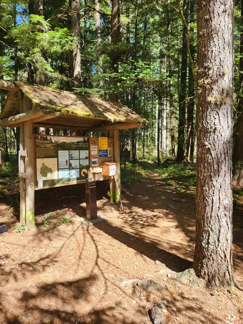
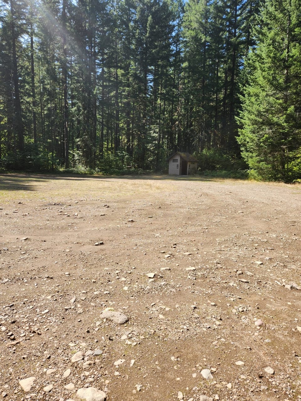
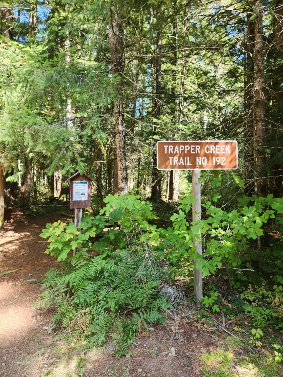
Trapper Creek trailheadTrapper Creek TH panelTrapper Creek trailhead parking and toilet

Photos: Forest Service photo · Public domain

Good for families, first hikes and short outings. No bikes. From OpenStreetMap: “This 4 mile trail runs north and south to the east of Trapper Creek Wilderness. This trail offers the opportunity to hike through an old-growth forest. Views of sparkling Dry Creek and the turbulent Bourbon Creek enhance this trail.”

1,2001,500 0 mi 3.85 mi

Open the map ›

No hiker reports in the last 3 days. Be the first to report here

At this trail

Dogs allowed No bikes Northwest Forest Pass

Pack it out.

Official pageForest Service › record checked 2026-10-06
Fee$5/vehicle/day
RestrictionsWilderness Regulations apply within Trapper Creek Wilderness.
PermitsDay hikes: none. Overnight: wilderness permit.

Rules, passes and closures change. Check the official Forest Service site before you go.

Getting there

Starts at Trapper Creek Trailhead · 4 other trails start here. Also reachable from Big Hollow Trailhead

Navigate to the trailhead: Google Maps · Apple Maps · coordinates 45.88161, -121.98021

Right now

Open in the app to report

ℹ Wilderness Permit RequirementsWilderness permits are required when entering Glacier View, Indian Heaven, Mt. Adams, Tatoosh, Trapper Creek, Goat Rocks, and William 0. Douglas Wildernesses. Required Wilderness permits are free and self issued at…Forest Service · May 6 · details ›
Fire RestrictionsThere are no current fire restrictions on the Gifford Pinchot National Forest. Even with lower fire risk please continue to practice safe fire habits: never leave a campfire unattended and make sure it is completely…Forest Service · Sep 18 · details ›
TodayAM42°75%
TonightPM34°38%
MonAM41°67%
MonPM36°40%
TueAM42°84%
TuePM38°84%
WedAM47°72%
WedPM41°93%

Rain And Snow then Mostly Cloudy, wind 2 mph · Full forecast ›

Daylight7:17 am 4:30 pm
Air qualityAQI 17 Good
Snow0″ snow at Calamity (2,510 ft, 18.4 km away)
Typical year: normally snow-free now · usually melted out by about Apr 3 · typical peak Mar 8
Snow levelabout 1,900 ft now · 1,900–5,600 ft over the next three days
Cameras
SR 14 at MP 41.5: Bridge of the Gods
SR 14 at MP 41.5: Bridge of the Gods · 25 km ›

No reports in the last 3 days.

All conditions and reports at Trapper Creek Trailhead

Something wrong on this page? Suggest a correction.