Easy · Out-and-back · 3.4 mi round trip · 86 ft gain · 1–1½ hr
River or creek
Parkingnot reported today
Good for families, first hikes and short outings. From OpenStreetMap: “This 1.5 mile trail has both old and second growth forests and views of Jefferson Creek Drainage area. Opportunities for fishing and nature viewing at Elk Lake.”
⚠ Winter Weather Advisory until Mon 4:00 PMWinter Weather Advisory issued November 22 at 3:04AM PST until November 23 at 4:00PM PST by NWS Seattle WA
⚠ Hydrologic Outlook until Sun 4:15 PMHydrologic Outlook issued November 22 at 1:21AM PST by NWS Seattle WA
TodayAM42°74%
TonightPM36°93%
MonAM44°100%
MonPM40°81%
TueAM46°98%
TuePM42°98%
WedAM48°96%
WedPM43°98%
Rain And Snow Likely then Patchy Fog, wind 2 mph · Full forecast ›
Daylight7:27 am4:29 pm
Air qualityAQI 11 Good
Snow7″ snow at Mount Crag (3,960 ft, 22.6 km away) Typical year: snowpack 94% of normal for the date · usually melted out by about Jun 5 · typical peak Apr 9
Snow levelabout 2,400 ft now · 2,300–5,400 ft over the next three days · 0.5″ of new snow forecast in 48 h
Cameras
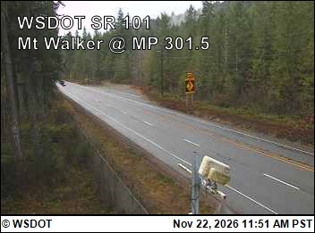
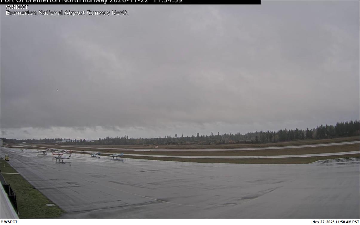
US 101 at MP 301.5: Mt Walker · 27 km ›Bremerton National Airport North · 29 km ›