Goat Ridge Trail
Hard · Out-and-back · 8.8 mi round trip · 2,158 ft gain · 3½–5 hr
Big viewsRidge or passCampsites
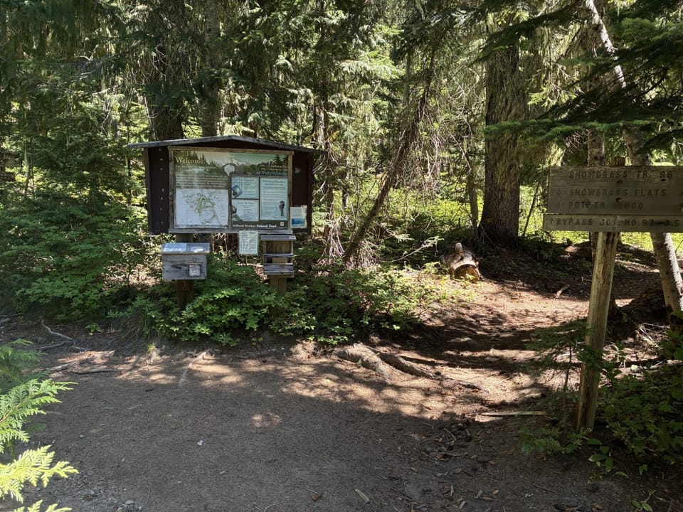
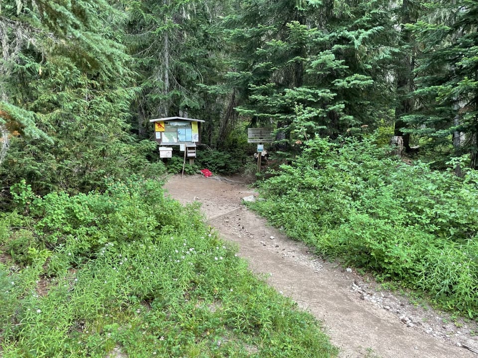
Photos: Forest Service / Kyung Koh Willis · Public domain; Forest Service photo · Public domain
A full day with sustained climbing; bring plenty of water. No bikes. From OpenStreetMap: “The trail climbs steeply up Goat Ridge to a junction with the Lily Basin Trail.”
No hiker reports in the last 3 days. Be the first to report here
At this trail
Dogs allowed No bikes Northwest Forest Pass Toilets (vault)
Pack it out.
Rules, passes and closures change. Check the official Forest Service site before you go.
Getting there
Starts at Berry Patch Trailhead · 5 other trails start here
Navigate to the trailhead: Google Maps · Apple Maps · coordinates 46.46678, -121.52776
Right now
Partly Sunny, wind 2 mph · Full forecast ›
Typical year: snowpack 33% of normal for the date · usually melted out by about Jun 2 · typical peak Apr 3
Eastbound: No restrictions · Westbound: No restrictions · Bare and wet · 28°F · pass report ›
No reports in the last 3 days.
All conditions and reports at Berry Patch Trailhead
Something wrong on this page? Suggest a correction.