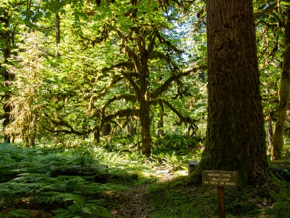
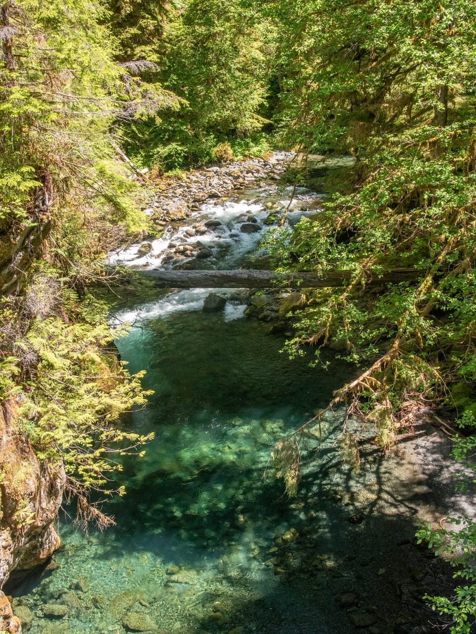
Strenuous · Out-and-back · 11.4 mi round trip · 2,369 ft gain · 4½–6¼ hr
River or creekCampsites
Parkingnot reported today
Photos: NPS / E. Goode · Public domain
A demanding mountain trail where sure footing is needed. A long, demanding day; experienced hikers in good shape. No bikes. From OpenStreetMap: “This primitive and poorly maintained tral connects the Quinault River trail with the South Fork Skokomish and Six Ridge Trails.”
⚠ Road closed: South Shore Quinault Road is closed about 8 miles from US 101 (washout). Reach Graves Creek the long way round via North Shore Road; check road status first. official status(checked 2026-10-05)
Navigate to the trailhead:Google Maps · Apple Maps · coordinates 47.57272, -123.57019
⚠ Hurricane Ridge Road Closed, Sunday 11/22, 8:30amHurricane Ridge Road is closed due to snow and ice. The road will reopen when conditions permit.National Park Service · Nov 22 · details ›
Staircase Developed Area is Open, Use Caution in Burned AreasThe Staircase developed area is open. The campground and ranger station have closed for the winter. The surrounding wilderness areas will remain closed as repair and recovery efforts continue. Use extreme caution when…National Park Service · Nov 20 · details ›
⚠ Bat Tests Positive for Rabies, Visitors Urged to Report Potential ContactA rabid bat was found at Olympic National Park near Staircase Bridge on August 9th. At approximately 2 p.m., the bat swooped down onto an unidentified woman and was temporarily caught in her hair. This individual is at…National Park Service · Oct 28 · details ›
⚠ Visitors to Rialto, Ruby Beach & Coastal Areas Cautioned Due to High TidesFall brings higher high tides, which can be dangerous and will cover some coastal routes completely. Always consult a tide chart and map. Be wary of sneaker waves and beach logs, which tides can move unexpectedly.National Park Service · Oct 26 · details ›