ℹ NotificationThe Beacon Rock trail will experience multi-day closures each week on Tuesdays, Wednesdays, and Thursdays from October 1 through the end of May, unless otherwise noted, for the replacement of trail decking. The trail…Washington State Parks · Sep 14 · details ›
ℹ NotificationTechnical climbing on Beacon Rock’s south face is reopened as of 7/9/2026. The west and northwest faces remain open. The east face is permanently closed for the protection of natural resources.Washington State Parks · Jul 13 · details ›
TodayAM42°61%
TonightPM36°30%
MonAM40°71%
MonPM39°39%
TueAM42°82%
TuePM42°82%
WedAM47°68%
WedPM45°93%
Rain And Snow Likely then Partly Sunny, wind 5 to 10 mph · Full forecast ›
Daylight7:17 am4:31 pm
Air qualityAQI 16 Good
Snow2″ snow at North Fork (3,070 ft, 10.3 km away) Typical year: snowpack 0% of normal for the date · usually melted out by about May 14 · typical peak Mar 22
Snow levelabout 2,000 ft now · 2,000–5,800 ft over the next three days
Cameras
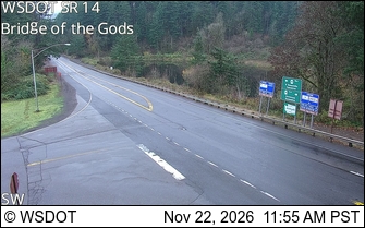
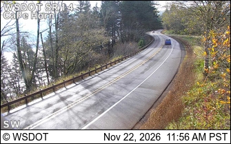
SR 14 at MP 41.5: Bridge of the Gods · 10 km ›SR 14 at MP 23.9: CapeHorn · 16 km ›