High Pass Trail
Moderate · Out-and-back · 5 mi round trip · 1,603 ft gain · 2¼–3 hr
Alpine lakeBig viewsRidge or pass
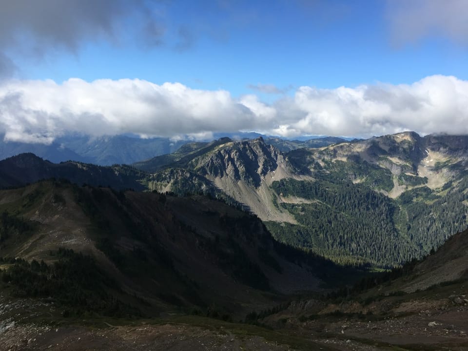
Photos: Forest Service photo · Public domain
A solid half-day for most hikers. No bikes.
No hiker reports in the last 3 days. Be the first to report here
At this trail
Dogs allowed No bikes Northwest Forest Pass Toilets (vault)
Pack it out.
Mt. Baker-Snoqualmie National Forest U.S. Forest Service
Rules, passes and closures change. Check the official Forest Service site before you go.
Getting there
Starts at Twin Lakes Trailhead · 3 other trails start here
Navigate to the trailhead: Google Maps · Apple Maps · coordinates 48.95246, -121.63573
Right now
Chance Light Snow then Mostly Cloudy, wind 2 to 7 mph · Full forecast ›
Typical year: snowpack 0% of normal for the date · usually melted out by about Jun 10 · typical peak Apr 12
Eastbound: Traction Tires Advised, Oversize Vehicles Prohibited. · Westbound: Traction Tires Advised, Oversize Vehicles Prohibited. · Snow and ice in places. · 29°F · pass report ›
No reports in the last 3 days.
All conditions and reports at Twin Lakes Trailhead
Something wrong on this page? Suggest a correction.