Huckleberry Mountain Trail
Strenuous · Out-and-back · 13.6 mi round trip · 5,192 ft gain · 6¼–8¾ hr
Big viewsAutumn colorsWildflowers
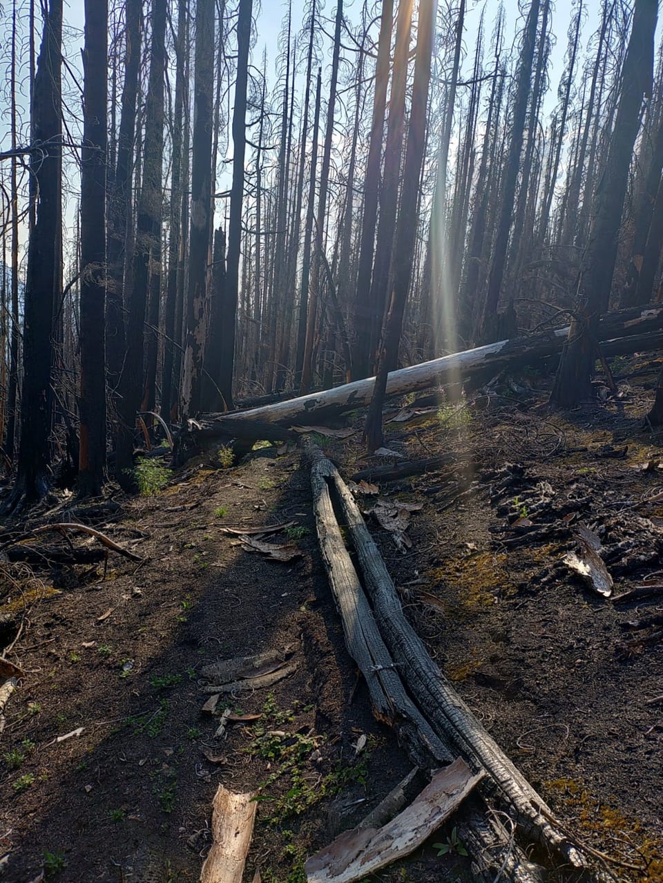
Photos: Forest Service photo · Public domain
A long, demanding day; experienced hikers in good shape. No bikes.
No hiker reports in the last 3 days. Be the first to report here
At this trail
Dogs allowed No bikes Northwest Forest Pass
Pack it out.
Darrington Ranger District, Mt. Baker-Snoqualmie National Forest U.S. Forest Service
Rules, passes and closures change. Check the official Forest Service site before you go.
Getting there
Starts at Huckleberry Mountain Trailhead
Navigate to the trailhead: Google Maps · Apple Maps · coordinates 48.26917, -121.34921
Right now
Chance Rain And Snow then Partly Sunny, wind 2 mph · Full forecast ›
No reports in the last 3 days.
All conditions and reports at Huckleberry Mountain Trailhead
Something wrong on this page? Suggest a correction.