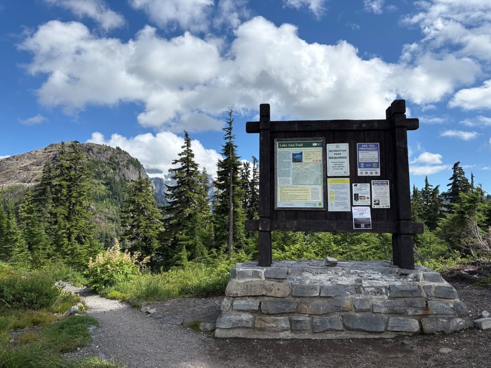
FeeNorthwest Forest Pass or Interagency National Parks and Federal Recreational Lands Pass required for all vehicles parked at trailhead.
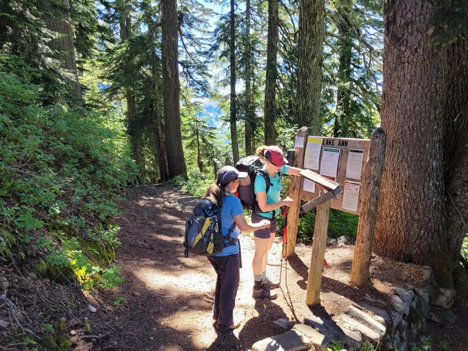
RestrictionsHikers only on Lake Ann Trail. No fires, except self-contained, carry-in stoves. No snowmobiles. Dogs must be leashed within the developed r
⚠ Closed for the season: The road to Artist Point (SR 542 above Heather Meadows) has been closed for the season since 2:30 pm October 25, 2026, at the seasonal gate at milepost 54.6. Park at Bagley Lakes Trailhead; Heather Meadows, Austin Pass, Lake Ann Trailhead and Artist Point are a walk, ski or snowshoe of up to 2.7 miles from there. Most signs are taken down for winter: expect snow, poor visibility and unmarked avalanche terrain. It reopens in summer. Forest Service ›
Navigate to the trailhead:Google Maps · Apple Maps · coordinates 48.85000, -121.68611
⚠ Effective Oct. 25, 2026, State Route 542/Road to Artist Point has closed for the season. The final 2.7-mile section of the road, known as the Road to Artist PoiWSDOT · 2 km · Oct 25 · details ›
Snow0″ snow at Wells Creek (4,040 ft, 7.8 km away) Typical year: snowpack 0% of normal for the date · usually melted out by about Jun 10 · typical peak Apr 12
Snow levelabout 2,400 ft now · 1,700–4,900 ft over the next three days · 4″ of new snow forecast in 48 h
Winter roadThe road to Artist Point (SR 542 above Heather Meadows): closed for the season since October 25. Forest Service ›
PassMt. Baker Hwy SR 5422 km Eastbound: Traction Tires Advised, Oversize Vehicles Prohibited. · Westbound: Traction Tires Advised, Oversize Vehicles Prohibited. · Snow and ice in places. · 29°F · pass report ›