Lake George Trail
Hard · Out-and-back · 9.2 mi round trip · 1,431 ft gain · 3¼–4½ hr
Alpine lakeRidge or passCampsites
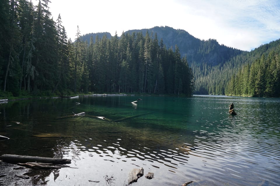
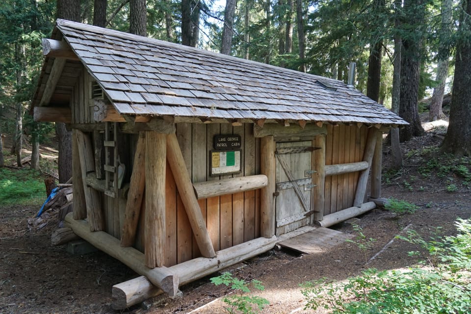
Photos: NPS photo · Public domain
A full day with sustained climbing; bring plenty of water. Mountain bikes allowed.
No hiker reports in the last 3 days. Be the first to report here
At this trail
No dogs Mountain bikes allowed Park entrance fee
Pack it out.
Rules, fees and closures change. Check the official park site before you go.
Getting there
Starts at Westside Road Trailhead · 5 other trails start here
Navigate to the trailhead: Google Maps · Apple Maps · coordinates 46.77857, -121.88303
Right now
Chance Light Snow then Mostly Cloudy, wind 6 mph · Full forecast ›
Typical year: snowpack 13% of normal for the date · usually melted out by about Jul 15 · typical peak May 4
Eastbound: Closed for the season · Westbound: Closed for the season · SR 123 Cayuse Pass is closed for the season. For outdoor recreational information visit the Mount Rainier National Park road status page: https://www.nps.gov/mora/planyourvisit/road-status.htm · 36°F · pass report ›
No reports in the last 3 days.
All conditions and reports at Westside Road Trailhead
Something wrong on this page? Suggest a correction.