May Valley Loop
Easy · Loop · 1.9 mi loop · 954 ft gain · 55 min–1¼ hr
Waterfall
Parkingnot reported today
Good for families, first hikes and short outings. No bikes.
No hiker reports in the last 3 days. Be the first to report here
At this trail
Dogs on leash No bikes Discover Pass Toilets Trash cans
Official pageWashington State Parks ›
Getting there
Starts at May Valley Trailhead · 1 other trail starts here
Navigate to the trailhead: Google Maps · Apple Maps · coordinates 47.48169, -122.05408
Right now
Burn Ban No fires at any timeNo fires permitted at any time.Washington State Parks · Jun 9 · details ›
TodayAM48°27%
TonightPM39°29%
MonAM49°88%
MonPM42°70%
TueAM49°70%
TuePM44°75%
WedAM54°68%
WedPM45°96%
Chance Light Rain, wind 3 mph · Full forecast ›
Daylight7:23 am 4:25 pm
Air qualityAQI 16 Good
Snow levelabout 2,500 ft now · 2,500–5,700 ft over the next three days
Cameras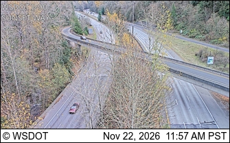
I-90 at MP 18: Sunset Way · 6 km › 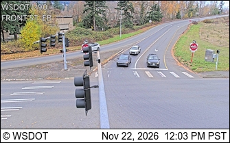
I-90 at MP 17.1: Front St EB Ramp · 7 km ›
No reports in the last 3 days.
All conditions and reports at May Valley Trailhead
Something wrong on this page? Suggest a correction.