Mount Ellinor Trail
Strenuous · Out-and-back · 6.4 mi round trip · 3,280 ft gain · 3¼–4½ hr
Big viewsSummit or lookout
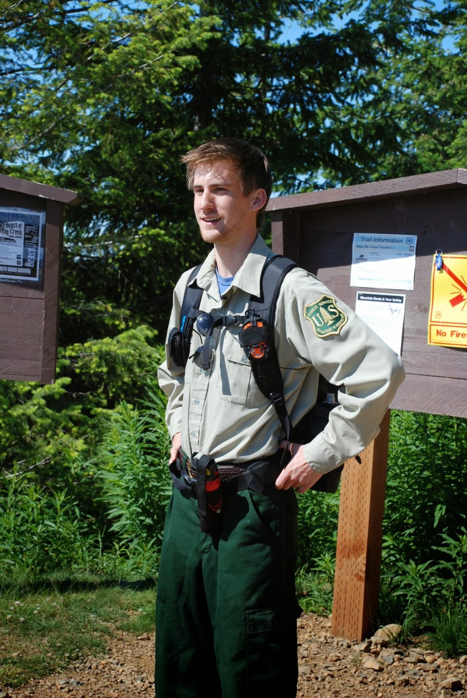
Photos: Forest Service photo · Public domain
Steep: about 1,000 ft of climbing per mile. A long, demanding day; experienced hikers in good shape. No bikes. From OpenStreetMap: “This trail is steep and rocky as it climbs to specatular views of Lake Cushman, Puget Sound, and the interior Olympic Mountains.”
No hiker reports in the last 3 days. Be the first to report here
At this trail
No bikes No fee or pass
Pack it out.
Getting there
Starts at Mount Ellinor Lower Trailhead · 1 other trail starts here. Also reachable from Mount Ellinor Upper Trailhead
Navigate to the trailhead: Google Maps · Apple Maps · coordinates 47.50675, -123.23202
Right now
Chance Light Snow, wind 2 mph · Full forecast ›
No reports in the last 3 days.
All conditions and reports at Mount Ellinor Lower Trailhead
Something wrong on this page? Suggest a correction.