Washington Trail Conditions

← All trailheads

Mount Pilchuck Trail

Moderate · Out-and-back · 5.2 mi round trip · 2,157 ft gain · 2½–3¼ hr

Big viewsSummit or lookout
EF
Parkingnot reported today
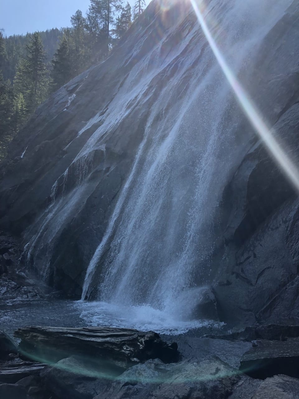
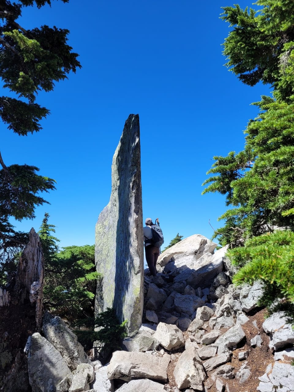
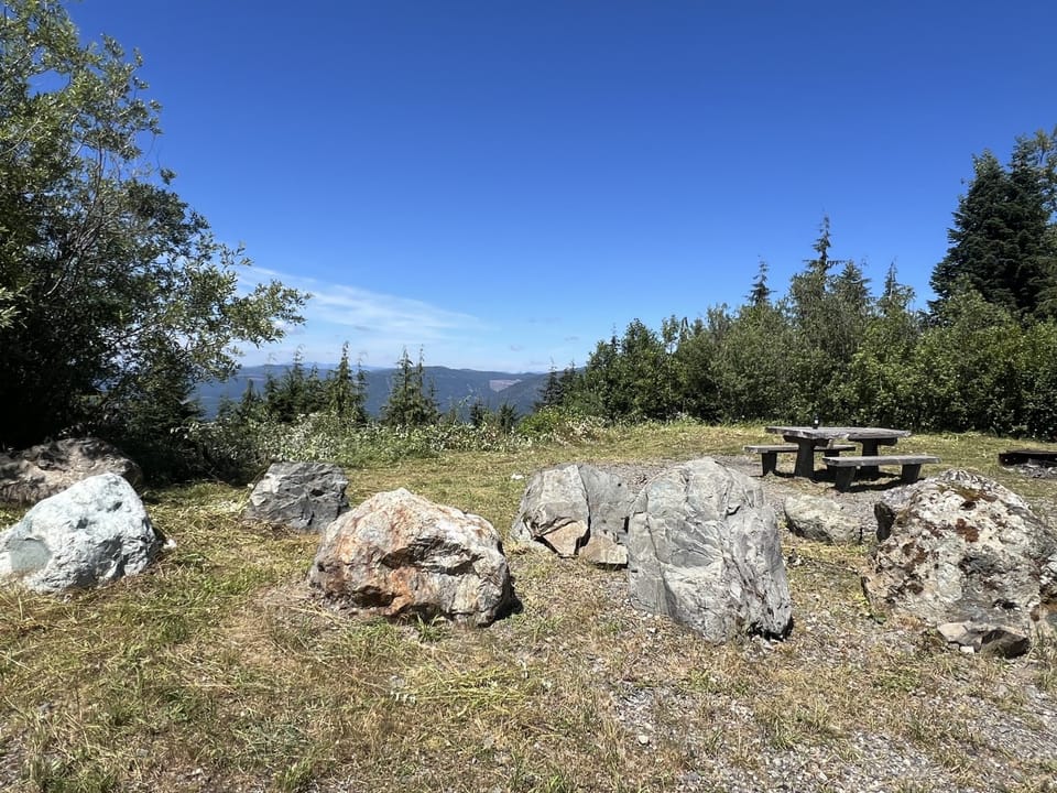
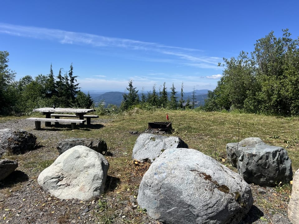
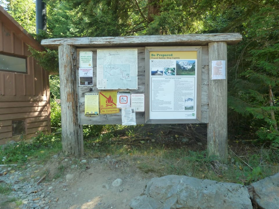
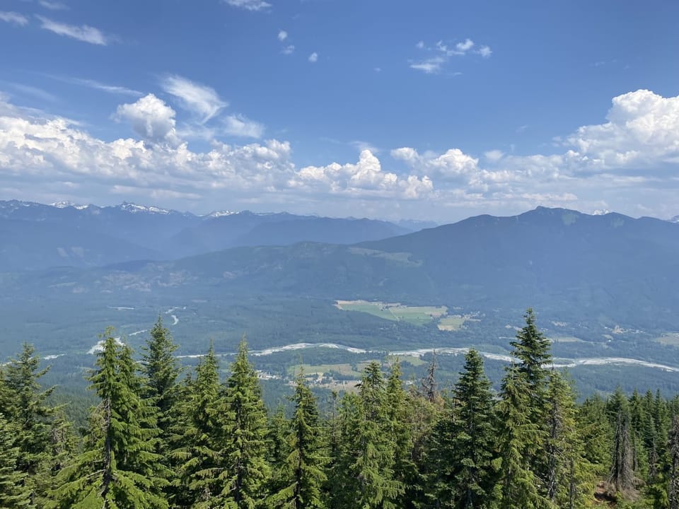
view from Pilchuck LookoutWaterfall on Pilchuck Trail, Darrington Ranger DistrictPilchuck Trail, Darrington Ranger DistrictPilchuck Trailhead picnic areaPilchuck Trailhead picnic areaPilchuck Trailhead Information Board

Photos: Forest Service / Amy Linn · Public domain; Forest Service photo · Public domain; Forest Service / Lynn Weisdepp · Public domain

A solid half-day for most hikers. No bikes.

3,2005,300 0 mi 2.53 mi

Open the map ›

No hiker reports in the last 3 days. Be the first to report here

At this trail

Dogs allowed No bikes Northwest Forest Pass Toilets

Pack it out.

Official pageForest Service › record checked 2026-10-06
Fee$5/vehicle/day
PermitsDay hikes: none. Overnight: wilderness permit.
AreaMountain Loop Scenic Byway ›
Darrington Ranger District, Mt. Baker-Snoqualmie National Forest U.S. Forest Service

Rules, passes and closures change. Check the official Forest Service site before you go.

Getting there

Starts at Mount Pilchuck Trailhead

Navigate to the trailhead: Google Maps · Apple Maps · coordinates 48.07029, -121.81474

Right now

Open in the app to report

TodayAM38°34%
TonightPM33°36%
MonAM39°98%
MonPM38°65%
TueAM41°84%
TuePM39°87%
WedAM44°75%
WedPM41°97%

Chance Light Snow, wind 1 to 8 mph · Full forecast ›

Daylight7:24 am 4:22 pm
Air qualityAQI 39 Good
Snow0″ snow at Deer Pass (3,360 ft, 30 km away)
Snow levelabout 2,300 ft now · 2,200–5,700 ft over the next three days
Cameras
SR 9 at MP 20.5: 84th St NE
SR 9 at MP 20.5: 84th St NE · 22 km ›
SR 9 at MP 17.5: SR 92 Interchange
SR 9 at MP 17.5: SR 92 Interchange · 22 km ›

No reports in the last 3 days.

All conditions and reports at Mount Pilchuck Trailhead

Something wrong on this page? Suggest a correction.