Moderate · Out-and-back · 4 mi round trip · 1,988 ft gain · 2–2¾ hr
Big viewsSummit or lookout
Parkingnot reported today
A solid half-day for most hikers. No bikes. From OpenStreetMap: “A 2 mile steep, forested hike through Douglas-fir, spring blooming pacific rhododendrons, salal, and Oregon Grape to the north summit of Mt. Walker.”
Chance Rain And Snow then Slight Chance Rain And Snow, wind 6 mph · Full forecast ›
Daylight7:27 am4:27 pm
Air qualityAQI 11 Good
Snow7″ snow at Mount Crag (3,960 ft, 8.5 km away) Typical year: snowpack 94% of normal for the date · usually melted out by about Jun 5 · typical peak Apr 9
Snow levelabout 2,400 ft now · 2,400–5,500 ft over the next three days
Cameras
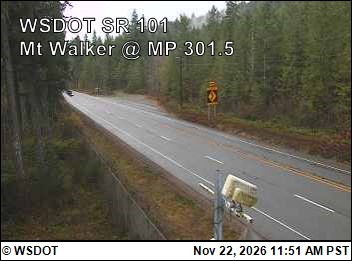
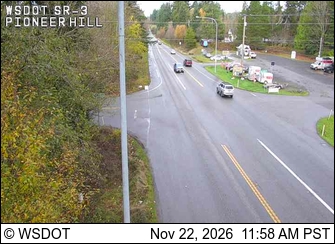
US 101 at MP 301.5: Mt Walker · 3 km ›SR 3 at MP 54.7: Pioneer Hill Rd · 20 km ›