Robe Canyon Historic Trail
Easy · Out-and-back · 3.6 mi round trip · 349 ft gain · 1¼–1¾ hr
River or creek
Parkingnot reported today
Alpine terrain with some scrambling. Good for families, first hikes and short outings.
No hiker reports in the last 3 days. Be the first to report here
At this trail
Pack it out.
Getting there
Starts at Robe Canyon Trailhead
Navigate to the trailhead: Google Maps · Apple Maps · coordinates 48.11023, -121.85668
Right now
TodayAM44°32%
TonightPM33°35%
MonAM46°97%
MonPM37°63%
TueAM47°83%
TuePM39°86%
WedAM51°75%
WedPM41°97%
Chance Rain And Snow, wind 3 mph · Full forecast ›
Daylight7:24 am 4:22 pm
Air qualityAQI 39 Good
Snow0″ snow at Deer Pass (3,360 ft, 26.7 km away)
Snow levelabout 2,300 ft now · 2,200–5,600 ft over the next three days
Cameras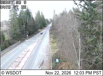
SR 9 at MP 20.5: 84th St NE · 19 km › 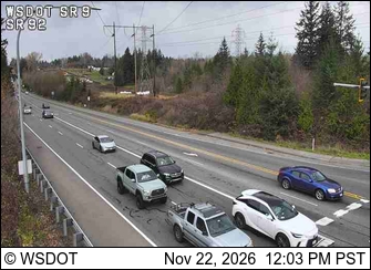
SR 9 at MP 17.5: SR 92 Interchange · 21 km ›
No reports in the last 3 days.
All conditions and reports at Robe Canyon Trailhead
Something wrong on this page? Suggest a correction.