Silver Falls Loop
Easy · Loop · 2.8 mi loop · 501 ft gain · 1–1½ hr
WaterfallRiver or creekCampsites
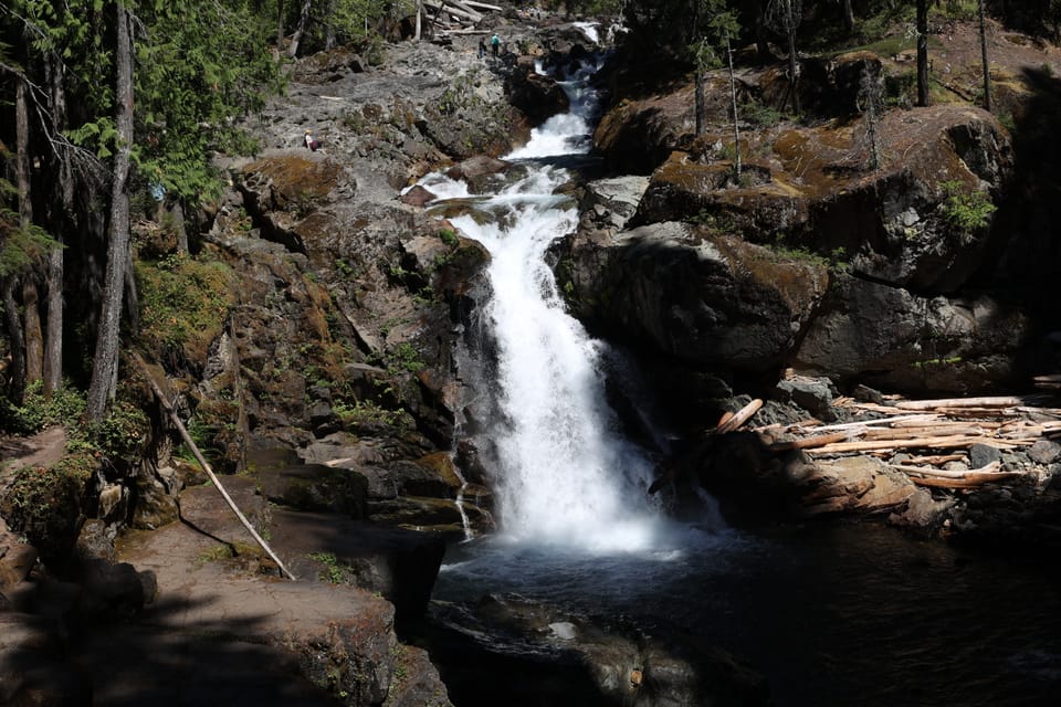
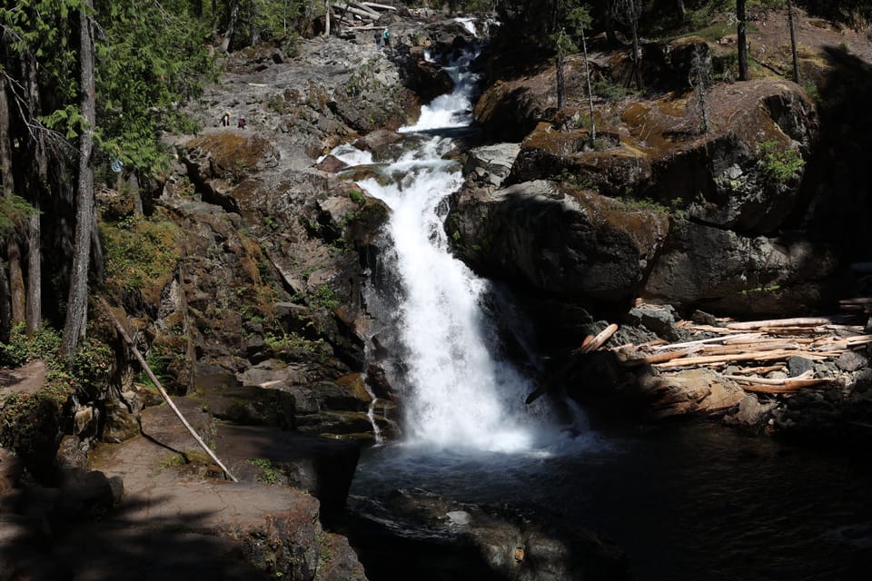
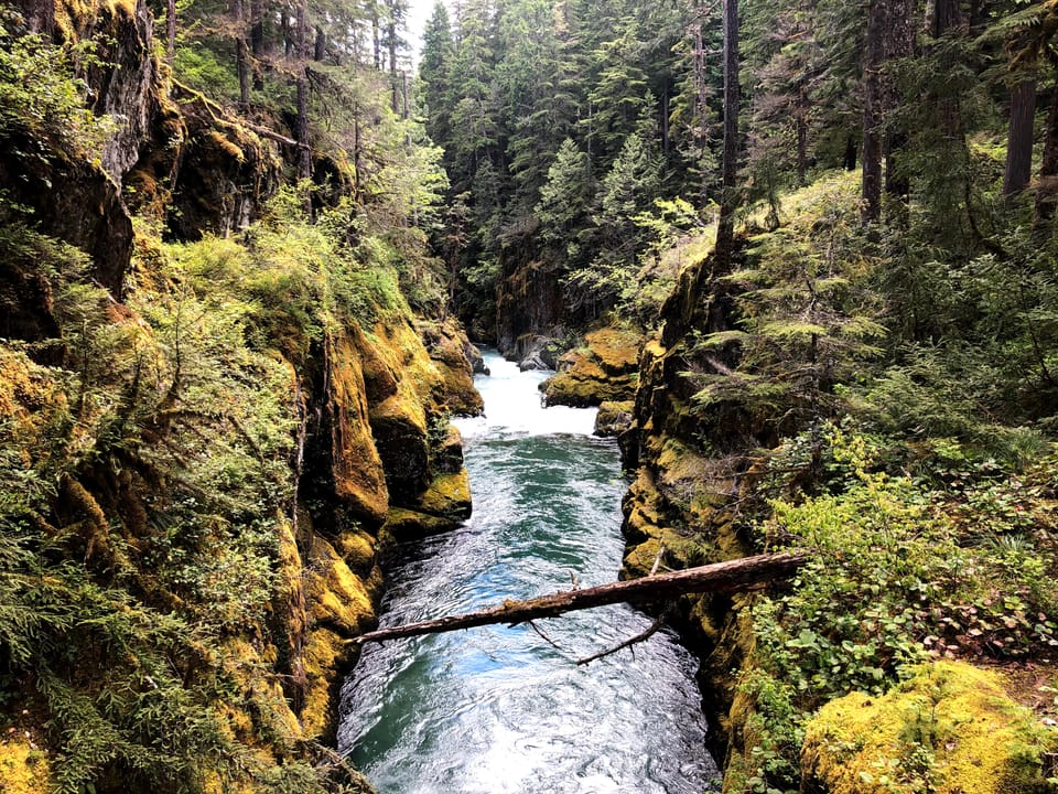
Photos: NPS photo · Public domain
A mountain trail with some steep or exposed sections. Good for families, first hikes and short outings. No bikes.
No hiker reports in the last 3 days. Be the first to report here
At this trail
No dogs No bikes Park entrance fee Toilets (flush) Trash cans
Rules, fees and closures change. Check the official park site before you go.
Getting there
Starts at Silver Falls Loop Trailhead. Also reachable from Laughingwater Creek Trailhead, Hot Springs Nature Trailhead
Navigate to the trailhead: Google Maps · Apple Maps · coordinates 46.73710, -121.56679
Right now
Chance Light Snow then Mostly Cloudy, wind 2 mph · Full forecast ›
Typical year: snowpack 13% of normal for the date · usually melted out by about Jul 15 · typical peak May 4
Eastbound: Closed for the season · Westbound: Closed for the season · SR 123 Cayuse Pass is closed for the season. For outdoor recreational information visit the Mount Rainier National Park road status page: https://www.nps.gov/mora/planyourvisit/road-status.htm · 36°F · pass report ›
No reports in the last 3 days.
All conditions and reports at Silver Falls Loop Trailhead
Something wrong on this page? Suggest a correction.