⚠ SR 165 is closed at the Carbon River/Fairfax Bridge to all vehicles, bicyclists and pedestrians until further notice. The closure means there is no access acrosWSDOT · 11 km · Jul 6 · details ›
TodayAM48°25%
TonightPM36°29%
MonAM49°46%
MonPM39°70%
TueAM50°71%
TuePM41°71%
WedAM54°62%
WedPM43°96%
Chance Light Rain then Mostly Cloudy, wind 2 mph · Full forecast ›
Daylight7:21 am4:26 pm
Air qualityAQI 56 Moderate
WildfireWest Fork fire, 32 km away, 310 acres, 16% contained
Snow0″ snow at Burnt Mountain (4,160 ft, 14.3 km away) Typical year: snowpack 37% of normal for the date · usually melted out by about May 20 · typical peak Apr 6
Snow levelabout 2,400 ft now · 2,400–6,000 ft over the next three days
PassCrystal to Greenwater SR 41033 km Eastbound: Traction Tires Advised, Oversize Vehicles Prohibited. · Westbound: Traction Tires Advised, Oversize Vehicles Prohibited. · Bare and Wet. · 38°F · pass report ›
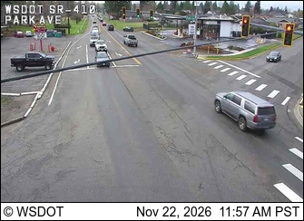
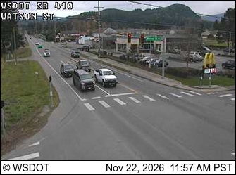
Cameras
SR 410 at MP 21.4: Park Ave · 3 km ›SR 410 at MP 24.9: Watson Rd · 3 km ›