Sulphur Creek Trail
Easy · Out-and-back · 4 mi round trip · 694 ft gain · 1½–2 hr
River or creek
Parkingnot reported today
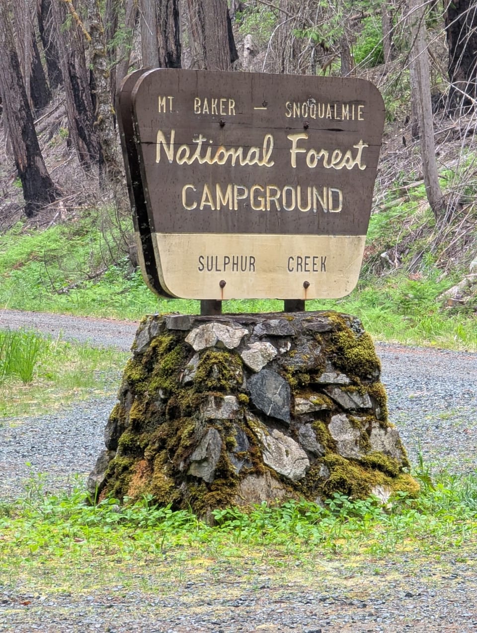
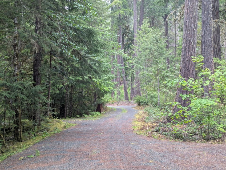
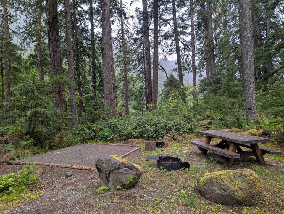
Photos: Forest Service / Ben Brannon · Public domain
Good for families, first hikes and short outings. No bikes.
No hiker reports in the last 3 days. Be the first to report here
At this trail
Dogs allowed No bikes Northwest Forest Pass
Pack it out.
Official pageForest Service › record checked 2026-10-06
FeeView Recreation.gov for Fee Information
Noteopen May to September
PermitsDay hikes: none. Overnight: wilderness permit.
AreaMountain Loop Scenic Byway ›
Darrington Ranger District, Mt. Baker-Snoqualmie National Forest U.S. Forest Service
Darrington Ranger District, Mt. Baker-Snoqualmie National Forest U.S. Forest Service
Officialconditions › · roads › · fees ›
Rules, passes and closures change. Check the official Forest Service site before you go.
Getting there
Starts at Sulphur Creek Trailhead
⚠ Closed: Miners Fire closure (Darrington Ranger District, order 06-05-26-17, in effect until rescinded): Suiattle Road Forest Service Road 2600, the Suiattle and Downey Creek trailheads, Sulphur Creek Campground and the Suiattle River, Downey Creek, Sulphur Creek, Sulphur Mountain, Miners Ridge, Image Lake, Buck Creek Pass, Milk Creek and other trails in the area, plus the Pacific Crest Trail from Mica Lake to Suiattle Pass. official status (checked 2026-10-05)
⚠ Road closed: Suiattle River Road (Forest Service Road 26) is closed to vehicles at milepost 4 after the February 2026 flood, with its spur roads, through January 1, 2028 (order 06-05-26-03). The Suiattle River, Sulphur Creek and Downey Creek trailheads are a long road walk away, and the Miners Fire closure still covers the trails beyond them. official status (checked 2026-10-05)
Navigate to the trailhead: Google Maps · Apple Maps · coordinates 48.24914, -121.19455
Right now
TodayAM42°26%
TonightPM33°33%
MonAM42°66%
MonPM36°52%
TueAM44°90%
TuePM39°93%
WedAM47°79%
WedPM41°98%
Chance Rain And Snow then Partly Sunny, wind 3 mph · Full forecast ›
Daylight7:22 am 4:19 pm
Air qualityAQI 39 Good
WildfireSisi fire, 29 km away, 4,816 acres, 90% contained
Snow0″ snow at Decline Creek (4,480 ft, 19.3 km away)
Snow levelabout 2,400 ft now · 1,400–4,800 ft over the next three days
No reports in the last 3 days.
All conditions and reports at Sulphur Creek Trailhead
Something wrong on this page? Suggest a correction.