Washington Trail Conditions

← All trailheads

Swift Creek Trail

Strenuous · Out-and-back · 14.8 mi round trip · 2,857 ft gain · 5½–7¾ hr

EF
Parkingnot reported today
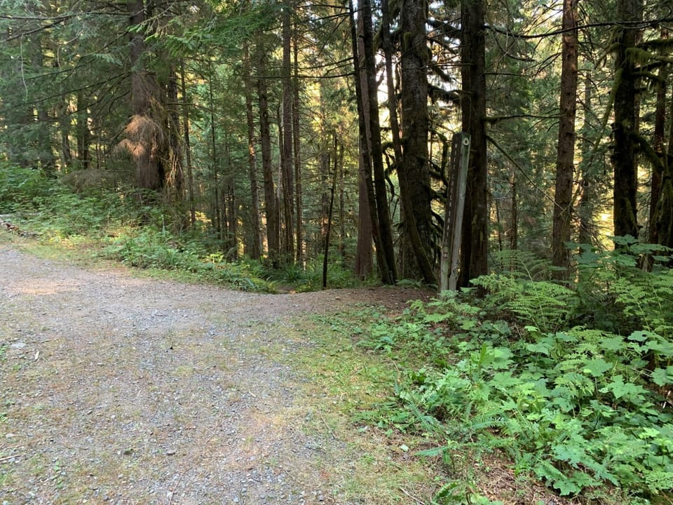
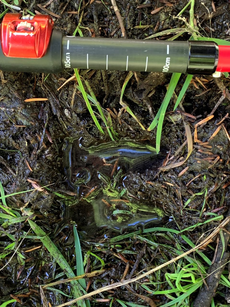
Mountain goat track in the mud on Swift Creek trail.There is no bridge over Rainbow Creek. An improved log crossing such as this one may be available.Near the Swift Creek trailhead, the Pacific Northwest National Scenic Trail uses the closed #1144 Road to connect to Bak

Photos: Forest Service photo · Public domain

A long, demanding day; experienced hikers in good shape. No bikes.

1,2003,900 0 mi 7.31 mi

Open the map ›

No hiker reports in the last 3 days. Be the first to report here

At this trail

Dogs allowed No bikes No fee or pass

Pack it out.

Official pageForest Service › record checked 2026-10-06
FeeNo fee.
RestrictionsSwift Creek Trail is hiker only and wilderness regulations apply within Mt. Baker Wilderness. No campfires allowed within one mile of the La
PermitsDay hikes: none. Overnight: wilderness permit.
AreaMount Baker Ranger District ›
Mt. Baker-Snoqualmie National Forest U.S. Forest Service

Rules, passes and closures change. Check the official Forest Service site before you go.

Getting there

Starts at Swift Creek Trailhead · 1 other trail starts here

Navigate to the trailhead: Google Maps · Apple Maps · coordinates 48.76480, -121.66987

Right now

Open in the app to report

⚠ Effective Oct. 25, 2026, State Route 542/Road to Artist Point has closed for the season. The final 2.7-mile section of the road, known as the Road to Artist PoiWSDOT · 11 km · Oct 25 · details ›
TodayAM40°33%
TonightPM33°42%
MonAM40°100%
MonPM36°63%
TueAM42°87%
TuePM40°94%
WedAM45°86%
WedPM41°98%

Chance Rain And Snow, wind 2 mph · Full forecast ›

Daylight7:26 am 4:19 pm
Air qualityAQI 31 Good
Snow0″ snow at Marten Ridge (3,520 ft, 2.1 km away)
Typical year: snowpack 0% of normal for the date · usually melted out by about Jun 26 · typical peak Apr 16
Snow levelabout 2,400 ft now · 1,700–5,000 ft over the next three days
PassMt. Baker Hwy SR 542 11 km
Eastbound: Traction Tires Advised, Oversize Vehicles Prohibited. · Westbound: Traction Tires Advised, Oversize Vehicles Prohibited. · Snow and ice in places. · 29°F · pass report ›
Cameras
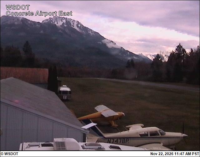
Mears Field (Concrete) Airport East
Mears Field (Concrete) Airport East · 27 km ›
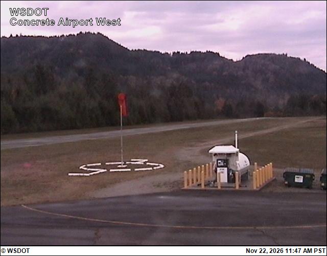
Mears Field (Concrete) Airport West
Mears Field (Concrete) Airport West · 27 km ›
No reports in the last 3 days.

All conditions and reports at Swift Creek Trailhead

Something wrong on this page? Suggest a correction.