Tarbell Trail
Strenuous · Loop · 22 mi loop · 3,649 ft gain · 7¾–11 hr
WaterfallCampsites
Parkingnot reported today
A long, demanding day; experienced hikers in good shape. Mountain bikes allowed.
No hiker reports in the last 3 days. Be the first to report here
At this trail
Getting there
Starts at Yacolt Burn Trailhead · 2 other trails start here. Also reachable from Grouse Vista Trailhead, Rock Creek Trailhead, Tarbell Trailhead
Navigate to the trailhead: Google Maps · Apple Maps · coordinates 45.75204, -122.32714
Right now
TodayAM44°56%
TonightPM35°50%
MonAM42°79%
MonPM37°40%
TueAM43°76%
TuePM39°76%
WedAM49°73%
WedPM42°93%
Rain And Snow Likely then Mostly Cloudy, wind 7 mph · Full forecast ›
Daylight7:18 am 4:32 pm
Air qualityAQI 17 Good
Snow0″ snow at Calamity (2,510 ft, 18.9 km away)
Typical year: normally snow-free now · usually melted out by about Apr 3 · typical peak Mar 8
Typical year: normally snow-free now · usually melted out by about Apr 3 · typical peak Mar 8
Snow levelabout 2,300 ft now · 2,300–5,900 ft over the next three days
Cameras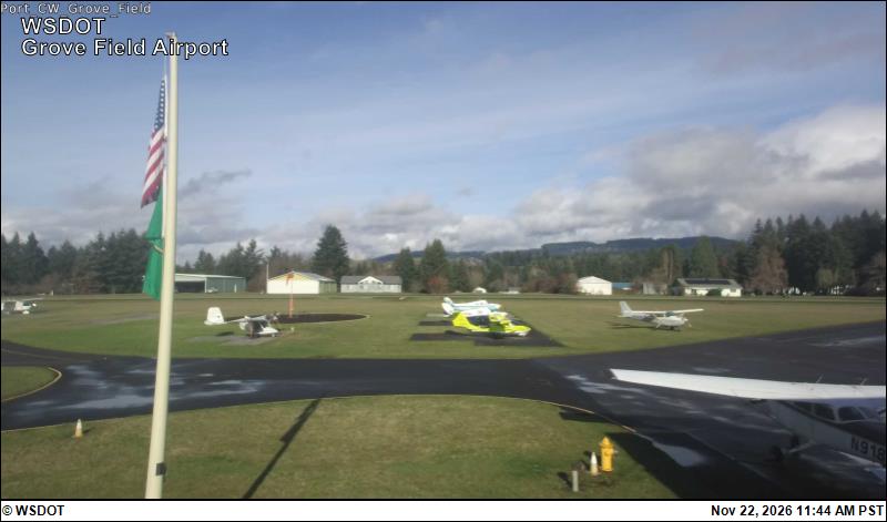
Grove Field Airport · 15 km › 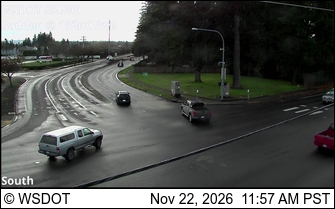
SR 500 at MP 9.2: Padden/162nd Ave · 16 km ›
No reports in the last 3 days.
All conditions and reports at Yacolt Burn Trailhead
Something wrong on this page? Suggest a correction.