Thomas Lake Trail
Moderate · Out-and-back · 6.6 mi round trip · 691 ft gain · 2¼–3¼ hr
Alpine lakeCampsites
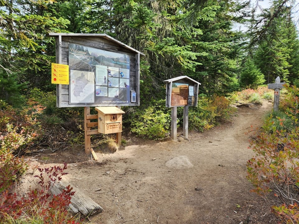
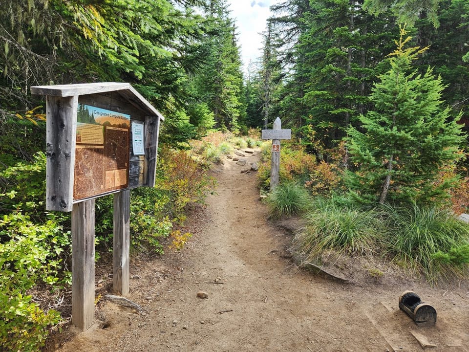
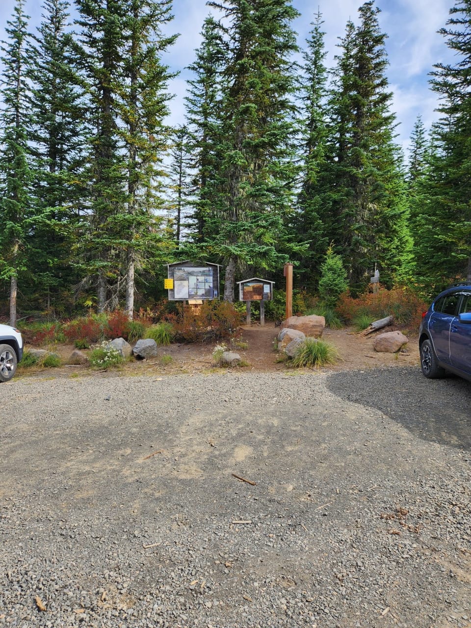
Photos: Forest Service photo · Public domain
A well-marked trail. A solid half-day for most hikers. No bikes. From OpenStreetMap: “This 3.3 mile heavily used trail passes numerous lakes prior to its connection with the Pacific Crest National Scenic Trail #2000 within Indian Heaven Wilderness.”
No hiker reports in the last 3 days. Be the first to report here
At this trail
Dogs allowed No bikes Northwest Forest Pass Toilets (vault)
Pack it out.
Rules, passes and closures change. Check the official Forest Service site before you go.
Getting there
Starts at Thomas Lake Trailhead
Navigate to the trailhead: Google Maps · Apple Maps · coordinates 46.00584, -121.83925
Right now
Light Snow then Mostly Cloudy, wind 5 mph · Full forecast ›
Typical year: snowpack 16% of normal for the date · usually melted out by about Jun 14 · typical peak Apr 10
No reports in the last 3 days.
All conditions and reports at Thomas Lake Trailhead
Something wrong on this page? Suggest a correction.