Washington Trail Conditions

← All trailheads

Tomyhoi Lake Trail

Hard · Out-and-back · 7.6 mi round trip · 1,707 ft gain · 3½–5 hr

Alpine lakeBig viewsRidge or passCampsites
EF
Parkingnot reported today
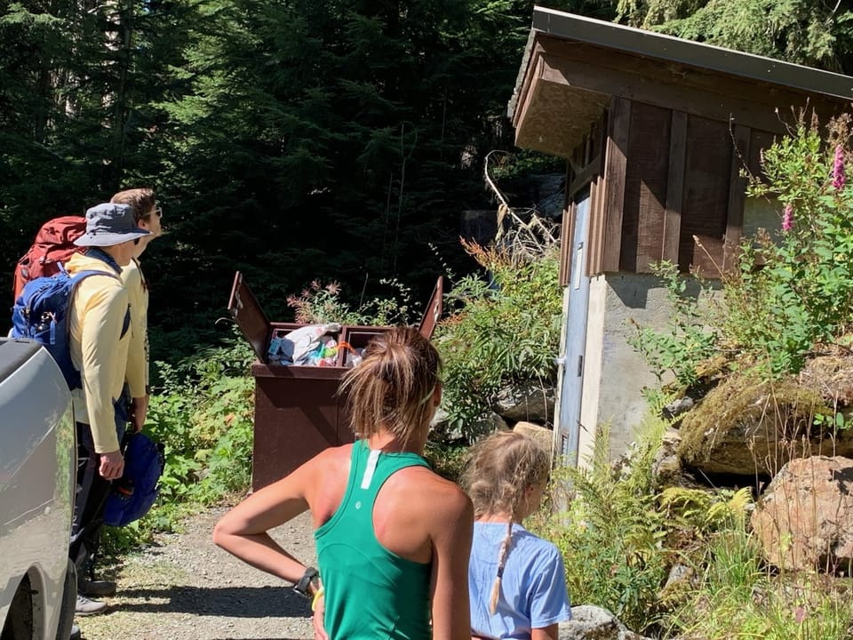
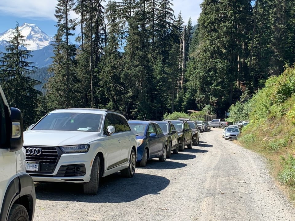
Cars lining road to Yellow Aster Butte/Tomyhoi Trailhead, Saturday in Augusthikers waiting in line for restroom at Yellow Aster Butte Trailhead

Photos: Forest Service / Magenta Widner · Public domain; Forest Service photo · Public domain

A full day with sustained climbing; bring plenty of water. No bikes.

3,7005,400 0 mi 3.76 mi

Open the map ›

No hiker reports in the last 3 days. Be the first to report here

At this trail

Dogs allowed No bikes Northwest Forest Pass Toilets (vault)

Pack it out.

Official pageForest Service › record checked 2026-10-06
Fee$5/vehicle/day
RestrictionsWilderness regulations apply within Mt. Baker Wilderness.
PermitsDay hikes: none. Overnight: wilderness permit.
AreaMount Baker Ranger District ›
Mt. Baker-Snoqualmie National Forest U.S. Forest Service

Rules, passes and closures change. Check the official Forest Service site before you go.

Getting there

Starts at Tomyhoi/Yellow Aster Butte Trailhead · 3 other trails start here

Navigate to the trailhead: Google Maps · Apple Maps · coordinates 48.94341, -121.66272

Right now

Open in the app to report

⚠ Mountain Goats Have Been Present on Yellow Aster ButteMountain goat populations have been declining in recent years. Please help by keeping your distance. This will avoid disturbance to the goats and keep them in the habitat they need to survive. Injuries and even deaths…Forest Service · Jul 8 · details ›
⚠ Effective Oct. 25, 2026, State Route 542/Road to Artist Point has closed for the season. The final 2.7-mile section of the road, known as the Road to Artist PoiWSDOT · 9 km · Oct 25 · details ›
TodayAM30°17%
TonightPM25°35%
MonAM31°92%
MonPM28°57%
TueAM33°88%
TuePM32°94%
WedAM35°85%
WedPM33°98%

Slight Chance Light Snow, wind 3 mph · Full forecast ›

Daylight7:26 am 4:18 pm
Air qualityAQI 31 Good
Snow0″ snow at Wells Creek (4,040 ft, 12.7 km away)
Typical year: snowpack 0% of normal for the date · usually melted out by about Jun 10 · typical peak Apr 12
Snow levelabout 2,400 ft now · 1,500–4,900 ft over the next three days · 3″ of new snow forecast in 48 h
PassMt. Baker Hwy SR 542 9 km
Eastbound: Traction Tires Advised, Oversize Vehicles Prohibited. · Westbound: Traction Tires Advised, Oversize Vehicles Prohibited. · Snow and ice in places. · 29°F · pass report ›

No reports in the last 3 days.

All conditions and reports at Tomyhoi/Yellow Aster Butte Trailhead

Something wrong on this page? Suggest a correction.