Carbon Trail
Strenuous · Out-and-back · 19 mi round trip · 3,015 ft gain · 7¾–11 hr
Alpine lakeBig viewsRidge or passCampsites
Parkingnot reported today
A long, demanding day; experienced hikers in good shape.
No hiker reports in the last 3 days. Be the first to report here
At this trail
Dogs allowed Northwest Forest Pass Trash cans
Official pageForest Service › record checked 2026-10-06
Fee$5/vehicle/day
RestrictionsWilderness regulations apply within Clearwater Wilderness.
PermitsDay hikes: none. Overnight: wilderness permit.
AreaSnoqualmie Ranger District ›
I-90, Middle Fork and Highway 410, Mt. Baker-Snoqualmie National Forest U.S. Forest Service
Officialconditions › · roads › · fees ›
Rules, passes and closures change. Check the official Forest Service site before you go.
Getting there
Starts at Summit Lake Trailhead · 5 other trails start here
Navigate to the trailhead: Google Maps · Apple Maps · coordinates 47.03136, -121.82682
Right now
⚠ Fairfax Bridge Permanently ClosedThe Fairfax Bridge on State Highway 165 (milepost 11.5) across the Carbon River has been permanently closed by Washington Department of Transportation (DOT) due to safety concerns. The bridge closure prevents vehicle…Forest Service · May 6 · details ›
⚠ SR 165 is closed at the Carbon River/Fairfax Bridge to all vehicles, bicyclists and pedestrians until further notice. The closure means there is no access acrosWSDOT · 17 km · Jul 6 · details ›
TodayAM33°22%
TonightPM28°25%
MonAM36°44%
MonPM32°70%
TueAM37°81%
TuePM35°81%
WedAM40°64%
WedPM37°96%
Slight Chance Light Snow then Partly Sunny, wind 2 mph · Full forecast ›
Daylight7:20 am 4:26 pm
Air qualityAQI 56 Moderate
WildfireWest Fork fire, 13 km away, 310 acres, 16% contained
Snow0″ snow at Burnt Mountain (4,160 ft, 8.7 km away)
Typical year: snowpack 37% of normal for the date · usually melted out by about May 20 · typical peak Apr 6
Snow levelabout 2,300 ft now · 2,300–5,900 ft over the next three days
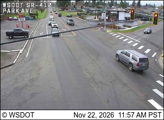
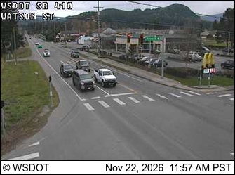
PassCrystal to Greenwater SR 410 19 km
Eastbound: Traction Tires Advised, Oversize Vehicles Prohibited. · Westbound: Traction Tires Advised, Oversize Vehicles Prohibited. · Bare and Wet. · 38°F · pass report ›
No reports in the last 3 days.
All conditions and reports at Summit Lake Trailhead
Something wrong on this page? Suggest a correction.