⚠ Adams Fork Bridge Closed (FR 5601)The Adams Fork Bridge on Forest Road 5601 at MP 2.0 on the Cowlitz Valley Ranger District is CLOSED. The bridge is beyond its service life, was damaged in flooding in 2015, and has suffered ongoing scouring of the…Forest Service · Mar 13 · details ›
ℹ Blue Lake Vehicle RestrictionsUsing or having a vehicle is not allowed in the area from the nearby parking lot near the junction of Trail #271 and Trail #271A to high waterline of Blue Lake and land surrounding the lake for a distance of 150 feet.Forest Service · Jun 14 · details ›
Fire RestrictionsThere are no current fire restrictions on the Gifford Pinchot National Forest. Even with lower fire risk please continue to practice safe fire habits: never leave a campfire unattended and make sure it is completely…Forest Service · Sep 18 · details ›
TodayAM43°17%
TonightPM34°28%
MonAM45°60%
MonPM37°50%
TueAM46°90%
TuePM40°90%
WedAM49°74%
WedPM42°94%
Slight Chance Rain And Snow then Mostly Cloudy, wind 3 mph · Full forecast ›
Daylight7:18 am4:27 pm
WildfireBackbone fire, 36 km away, 17 acres, 100% contained
Snow5″ snow at Potato Hill (4,480 ft, 17.4 km away) Typical year: snowpack 33% of normal for the date · usually melted out by about Jun 2 · typical peak Apr 3
Snow levelabout 2,600 ft now · 2,200–5,400 ft over the next three days
PassWhite Pass US 1238 km Eastbound: No restrictions · Westbound: No restrictions · Bare and wet · 28°F · pass report ›
Cameras
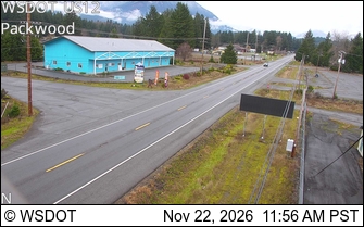
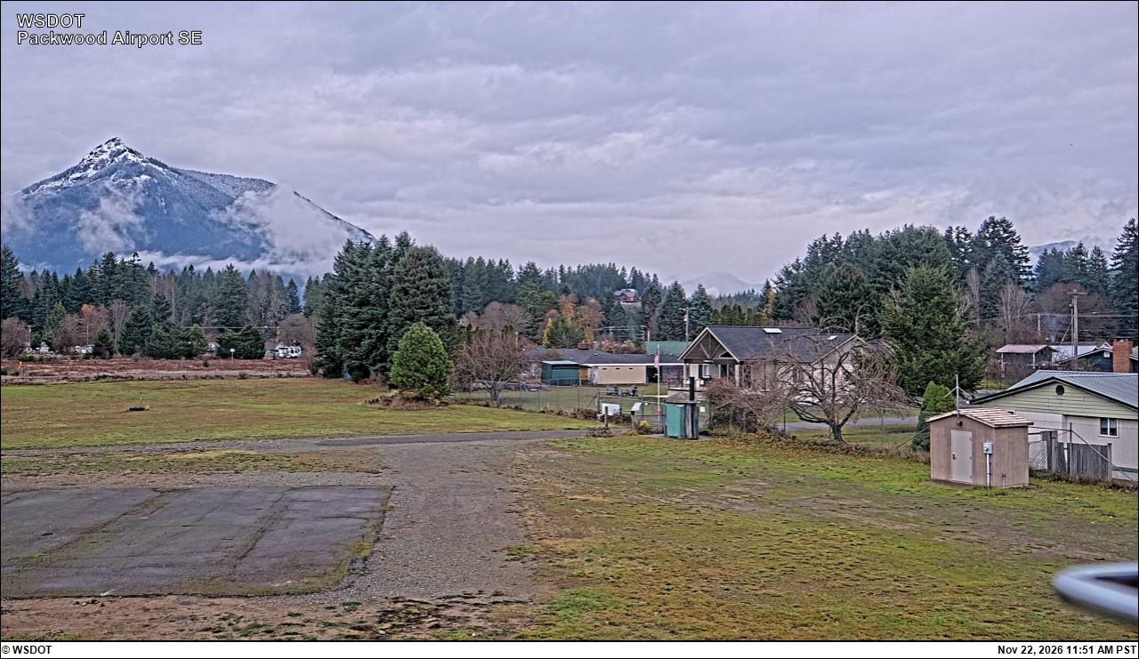
US 12 at MP 130.51: Packwood · 23 km ›Packwood Airport South · 23 km ›