RestrictionsWilderness Regulations apply. Camping and campfires are prohibited within Tatoosh Lakes Basin. Pack and Saddle stock are prohibited on the T
ℹ Tatoosh Lakes Basin RestrictionsCamping and bringing horses or other pack animals is not allowed in the Tatoosh Lakes Basin.Forest Service · Jun 15 · details ›
ℹ Wilderness Permit RequirementsWilderness permits are required when entering Glacier View, Indian Heaven, Mt. Adams, Tatoosh, Trapper Creek, Goat Rocks, and William 0. Douglas Wildernesses. Required Wilderness permits are free and self issued at…Forest Service · May 6 · details ›
Fire RestrictionsThere are no current fire restrictions on the Gifford Pinchot National Forest. Even with lower fire risk please continue to practice safe fire habits: never leave a campfire unattended and make sure it is completely…Forest Service · Sep 18 · details ›
TodayAM32°17%
TonightPM27°38%
MonAM35°78%
MonPM32°51%
TueAM37°83%
TuePM36°83%
WedAM40°71%
WedPM37°96%
Slight Chance Light Snow then Mostly Cloudy, wind 2 mph · Full forecast ›
Daylight7:19 am4:26 pm
WildfireBackbone fire, 9 km away, 17 acres, 100% contained
Snow3″ snow at Paradise (5,150 ft, 8.3 km away) Typical year: snowpack 13% of normal for the date · usually melted out by about Jul 15 · typical peak May 4
Snow levelabout 2,600 ft now · 2,100–5,400 ft over the next three days · 1.5″ of new snow forecast in 48 h
PassCayuse Pass SR 12322 km Eastbound: Closed for the season · Westbound: Closed for the season · SR 123 Cayuse Pass is closed for the season. For outdoor recreational information visit the Mount Rainier National Park road status page: https://www.nps.gov/mora/planyourvisit/road-status.htm · 36°F · pass report ›
Cameras
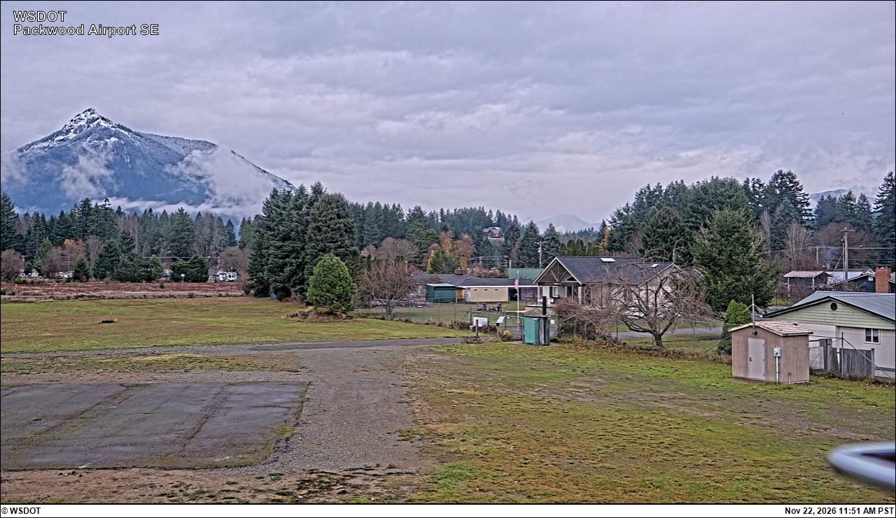
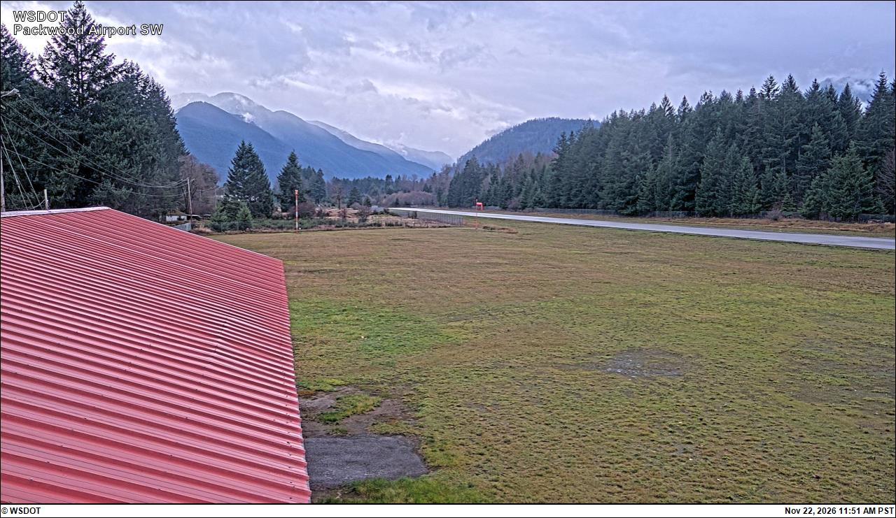
Packwood Airport South · 12 km ›Packwood Airport Southwest · 12 km ›