Oval Creek Trail
Strenuous · Out-and-back · 17.2 mi round trip · 4,731 ft gain · 7–9¾ hr
Big viewsRiver or creekLarchesAutumn colors
Parkingnot reported today
A long, demanding day; experienced hikers in good shape. No bikes.
No hiker reports in the last 3 days. Be the first to report here
At this trail
Dogs allowed No bikes Northwest Forest Pass
Pack it out.
Official pageForest Service › record checked 2026-10-06
FeeRecreation pass required. ($5/vehicle/day Northwest Forest Pass can be purchased from a self-pay station provided at the Gilbert trailhead
RestrictionsWilderness regulations apply Certified weed-free hay for stock on national forest lands.
PermitsDay hikes: none. Overnight: wilderness permit.
AreaMethow Valley ›
Methow Valley Ranger District, Okanogan-Wenatchee National Forest U.S. Forest Service
Methow Valley Ranger District, Okanogan-Wenatchee National Forest U.S. Forest Service
Officialconditions › · roads › · fees › · permits ›
Rules, passes and closures change. Check the official Forest Service site before you go.
Getting there
Starts at Eagle Creek Trailhead · 4 other trails start here
Navigate to the trailhead: Google Maps · Apple Maps · coordinates 48.35258, -120.40703
Right now
TodayAM32°85%
TonightPM24°58%
MonAM31°58%
MonPM29°39%
TueAM33°88%
TuePM31°88%
WedAM37°57%
WedPM34°99%
Light Snow, wind 3 mph · Full forecast ›
Daylight7:19 am 4:15 pm
Air qualityAQI 67 Moderate
WildfireSisi fire, 31 km away, 4,816 acres, 90% contained
Snow levelabout 1,400 ft now · 1,300–3,400 ft over the next three days · 2″ of new snow forecast in 48 h
PassNorth Cascade Hwy SR 20 28 km
Eastbound: No restrictions · Westbound: No restrictions · Compact snow and ice · 28°F · pass report ›
Eastbound: No restrictions · Westbound: No restrictions · Compact snow and ice · 28°F · pass report ›
Cameras
Methow Valley State Airport Northwest · 21 km › 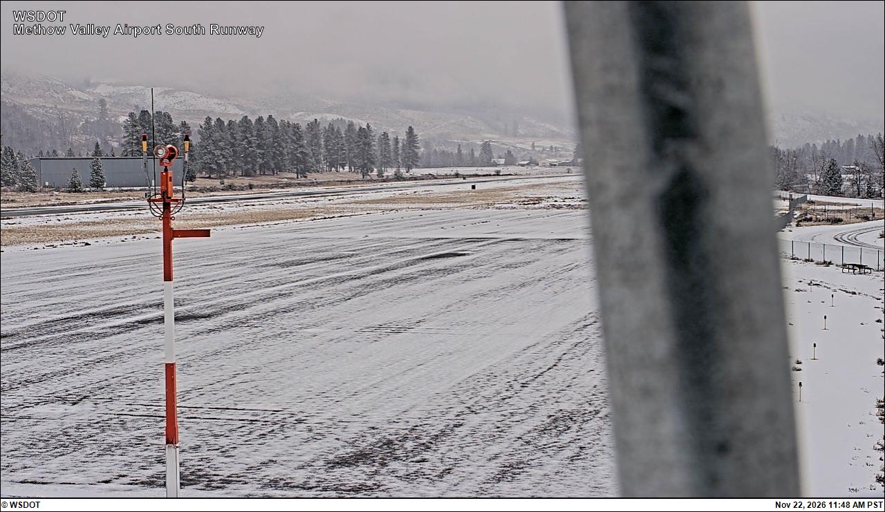
Methow Valley State Airport South · 21 km ›
No reports in the last 3 days.
All conditions and reports at Eagle Creek Trailhead
Something wrong on this page? Suggest a correction.