Washington Trail Conditions

← All trailheads

Issaquah Creek Trail

Easy · Out-and-back · 2 mi round trip · 35–50 min

River or creek

EF
Parkingnot reported today
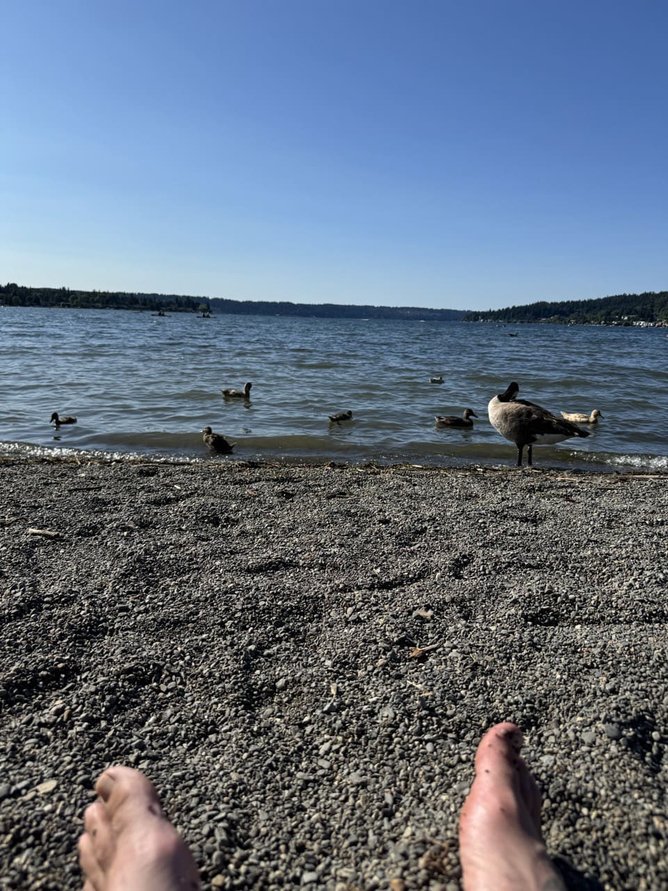
July 2024Photo: Jesse (site owner)

Good for families, first hikes and short outings. Mountain bikes allowed.

0100 0 mi 0.95 mi

Open the map ›

No hiker reports in the last 3 days. Be the first to report here

At this trail

Dogs on leash Mountain bikes allowed Discover Pass

Pack it out.

Getting there

Starts at Lake Sammamish State Park Trailhead · 4 other trails start here

Navigate to the trailhead: Google Maps · Apple Maps · coordinates 47.55190, -122.06770

Right now

Open in the app to report

⚠ Part of the Park is ClosedBoth the Issaquah Creek bridge and the Tibbetts Creek bridge are currently closed due to erosion from winter high creek levels. We do not have a current timeframe for when the repairs for these bridges will be…Washington State Parks · Mar 3 · details ›
ℹ NotificationThere will be increased roadway congestion accessing the park beginning early October and ending in early December due to a road closure on NW Sammamish Road. The Park will remain open during this time.Washington State Parks · Oct 2 · details ›
TodayAM49°30%
TonightPM40°31%
MonAM51°91%
MonPM43°71%
TueAM51°71%
TuePM45°76%
WedAM56°70%
WedPM47°96%

Chance Light Rain, wind 2 mph · Full forecast ›

Daylight7:23 am 4:25 pm
Air qualityAQI 16 Good
Snow levelabout 2,400 ft now · 2,400–5,700 ft over the next three days
Cameras
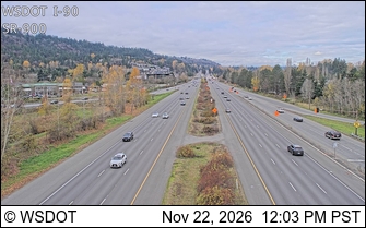
I-90 at MP 15.8: SR 900 Interchange
I-90 at MP 15.8: SR 900 Interchange · 1 km ›
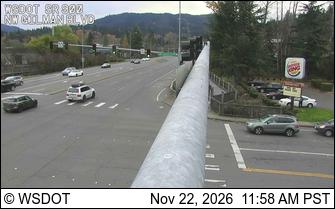
SR 900 at MP 21.4: Gilman Blvd
SR 900 at MP 21.4: Gilman Blvd · 1 km ›

No reports in the last 3 days.

All conditions and reports at Lake Sammamish State Park Trailhead

Something wrong on this page? Suggest a correction.