Washington Trail Conditions

← All trailheads

Sherman Tie Trail

Easy · Out-and-back · 1 mi round trip · 77 ft gain · 20–25 min

EF
Parkingnot reported today

Good for families, first hikes and short outings.

5,2005,300 0 mi 0.51 mi

Open the map ›

No hiker reports in the last 3 days. Be the first to report here

At this trail

Pack it out.

PermitsDay hikes: none. Overnight: wilderness permit.
AreaColville National Forest ›
Newport-Sullivan Lake, Three Rivers, Republic and Tonasket ranger districts U.S. Forest Service

Rules, passes and closures change. Check the official Forest Service site before you go.

Getting there

Starts at Kettle Crest South Trailhead (Sherman Pass)

Navigate to the trailhead: Google Maps · Apple Maps · coordinates 48.60615, -118.47443

Right now

Open in the app to report

TodayAM46° 
TonightPM30°2%
TueAM48°3%
TuePM32° 
WedAM53° 
WedPM34° 
ThuAM54° 
ThuPM36° 

Sunny, wind 2 mph · Full forecast ›

Daylight7:11 am 6:09 pm
Air qualityAQI 55 Moderate
WildfireHill Loop fire, 40 km away, 127 acres, 100% contained
Snow0″ snow at Sentinel Butte (4,680 ft, 28.9 km away)
Typical year: normally snow-free now · usually melted out by about May 7 · typical peak Apr 4
Snow levelabout 5,100 ft now · 3,900–8,100 ft over the next three days
PassSherman Pass SR 20 0 km
Eastbound: No restrictions · Westbound: No restrictions · no current information available. The reporting has ended for this season. · 31°F · pass report ›
Cameras
SR 20 at MP 319.5: Sherman Pass
SR 20 at MP 319.5: Sherman Pass · 0 km ›
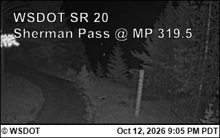
SR 20 at MP 319.5: Sherman Pass
SR 20 at MP 319.5: Sherman Pass · 0 km ›
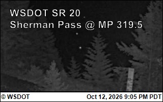
No reports in the last 3 days.

All conditions and reports at Kettle Crest South Trailhead (Sherman Pass)

Something wrong on this page? Suggest a correction.