Martian Loop
Easy · Loop · 0.5 mi loop · 359 ft gain · 20–25 min
Parkingnot reported today
Good for families, first hikes and short outings. No bikes.
No hiker reports in the last 3 days. Be the first to report here
At this trail
Getting there
Starts at Peshastin Pinnacles State Park Trailhead · 2 other trails start here
Navigate to the trailhead: Google Maps · Apple Maps · coordinates 47.53865, -120.52050
Right now
Burn Ban No fires at any timeNo fires permitted at any time.Washington State Parks · Jun 9 · details ›
TonightPM34°
TodayAM64°
MonPM34°
TueAM66°
TuePM40°1%
WedAM70°1%
WedPM42°
ThuAM69°
Areas Of Frost, wind 2 mph · Full forecast ›
Daylight7:18 am 6:18 pm
Air qualityAQI 55 Moderate
WildfireKing fire, 56 km away, 3,427 acres, 36% contained
Snow0″ snow at Blewett Pass (4,240 ft, 24.1 km away)
Typical year: usually melted out by about Apr 29 · typical peak Mar 12
Typical year: usually melted out by about Apr 29 · typical peak Mar 12
Snow levelabout 4,000 ft now · 3,500–9,100 ft over the next three days
PassBlewett Pass US 97 23 km
Eastbound: No restrictions · Westbound: No restrictions · 39°F · pass report ›
Eastbound: No restrictions · Westbound: No restrictions · 39°F · pass report ›
Cameras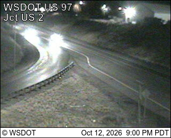
US 97 at MP 185: Don Senn Memorial Interchange · 6 km › 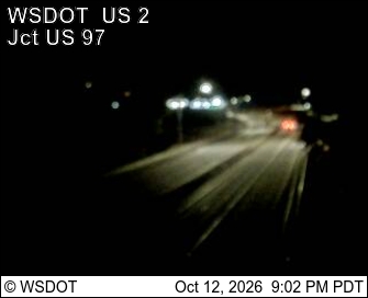
US 2 at MP 104.8: Don Senn Memorial Interchange · 7 km ›
No reports in the last 3 days.
All conditions and reports at Peshastin Pinnacles State Park Trailhead
Something wrong on this page? Suggest a correction.