Rocky Creek Trail
Hard · Out-and-back · 4.8 mi round trip · 2,486 ft gain · 2½–3½ hr
Parkingnot reported today
Steep: about 1,000 ft of climbing per mile. A full day with sustained climbing; bring plenty of water.
No hiker reports in the last 3 days. Be the first to report here
At this trail
Pack it out.
Parking passNorthwest Forest Pass, $5 per day or $30 per year or an America the Beautiful pass
PermitsDay hikes: none. Overnight: wilderness permit.
AreaMount Baker Ranger District ›
Mt. Baker-Snoqualmie National Forest U.S. Forest Service
Mt. Baker-Snoqualmie National Forest U.S. Forest Service
Officialconditions › · roads › · fees ›
Rules, passes and closures change. Check the official Forest Service site before you go.
Getting there
Starts at Rocky Creek Trailhead
Navigate to the trailhead: Google Maps · Apple Maps · coordinates 48.50621, -121.49571
Right now
ℹ FSR 12 and FSR 1230 will be closed for repairs in AugustBeginning in late August (between 08/10 and 08/24), Forest Service Roads 12 (and 1230) will be closed for scheduled road repairs. FSR 12 will be closed to vehicle traffic from Rocky Creek Bridge (MP 4.6) through to the…Forest Service · Jun 30 · details ›
Daylight7:23 am 6:21 pm
Air qualityAQI 17 Good
WildfireElectric fire, 17 km away, 495 acres, 100% contained
Snow0″ snow at Deer Pass (3,360 ft, 25.5 km away)
PassMt. Baker Hwy SR 542 42 km
Eastbound: No restrictions · Westbound: No restrictions · pass report ›
Eastbound: No restrictions · Westbound: No restrictions · pass report ›
Cameras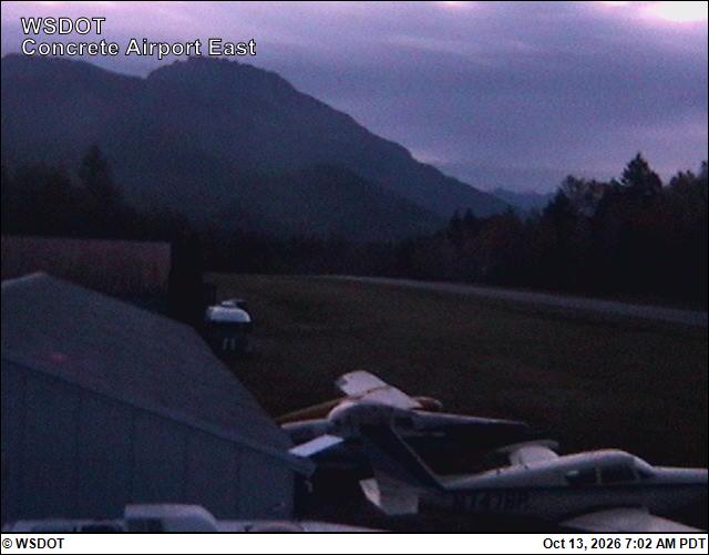
Mears Field (Concrete) Airport East · 20 km › 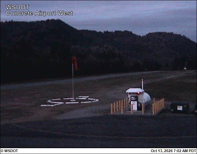
Mears Field (Concrete) Airport West · 20 km ›
No reports in the last 3 days.
All conditions and reports at Rocky Creek Trailhead
Something wrong on this page? Suggest a correction.