Springboard Trail
Easy · Loop · 2.5 mi loop · 420 ft gain · 55 min–1¼ hr
Parkingnot reported today
Good for families, first hikes and short outings.
No hiker reports in the last 3 days. Be the first to report here
At this trail
Pack it out.
Official pageForest Service › record checked 2026-10-06
PermitsDay hikes: none. Overnight: wilderness permit.
AreaColville National Forest ›
Newport-Sullivan Lake, Three Rivers, Republic and Tonasket ranger districts U.S. Forest Service
Newport-Sullivan Lake, Three Rivers, Republic and Tonasket ranger districts U.S. Forest Service
Officialconditions › · roads › · fees › · permits ›
Rules, passes and closures change. Check the official Forest Service site before you go.
Getting there
Starts at Springboard Trailhead
Navigate to the trailhead: Google Maps · Apple Maps · coordinates 48.61377, -117.53436
Right now
TonightPM23°1%
TueAM53°3%
TuePM30°3%
WedAM58°
WedPM31°
ThuAM62°
ThuPM33°
FriAM65°
Widespread Frost, wind 0 mph · Full forecast ›
Daylight7:07 am 6:05 pm
Air qualityAQI 11 Good
WildfireHill Loop fire, 43 km away, 127 acres, 100% contained
Snow0″ snow at Bunchgrass Mdw (5,020 ft, 27.5 km away)
Typical year: usually melted out by about Jun 10 · typical peak Apr 17
Typical year: usually melted out by about Jun 10 · typical peak Apr 17
Snow levelabout 3,300 ft now · 3,200–8,300 ft over the next three days
Cameras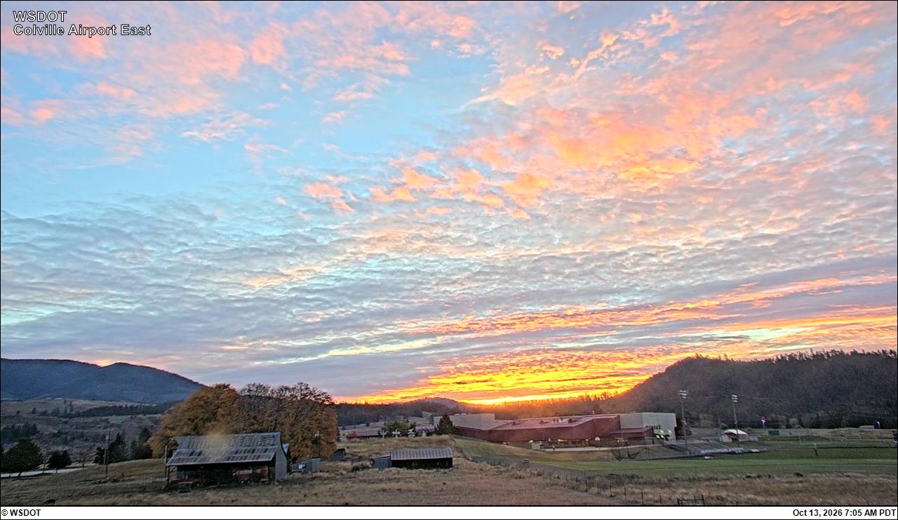
Colville Municipal Airport East · 27 km › 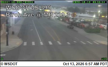
US 395 at MP 229.34: Colville - Birch Ave · 28 km ›
No reports in the last 3 days.
All conditions and reports at Springboard Trailhead
Something wrong on this page? Suggest a correction.