Washington Trail Conditions

← All trailheads

Summit Springs Trail

Moderate · Out-and-back · 5.6 mi round trip · 1,685 ft gain · 2¼–3¼ hr

EF
Parkingnot reported today

A solid half-day for most hikers.

1,4003,100 0 mi 2.75 mi

Open the map ›

No hiker reports in the last 3 days. Be the first to report here

At this trail

Pack it out.

Parking passNorthwest Forest Pass, $5 per day or $30 per year or an America the Beautiful pass
PermitsDay hikes: none. Overnight: wilderness permit.

Rules, passes and closures change. Check the official Forest Service site before you go.

Getting there

Starts at Summit Springs Trailhead

Navigate to the trailhead: Google Maps · Apple Maps · coordinates 45.81017, -122.20873

Right now

Open in the app to report

Fire RestrictionsThere are no current fire restrictions on the Gifford Pinchot National Forest. Even with lower fire risk please continue to practice safe fire habits: never leave a campfire unattended and make sure it is completely…Forest Service · Sep 18 · details ›
Daylight7:22 am 6:27 pm
Air qualityAQI 23 Good
WildfireHigh Lava fire, 11 km away, 2,899 acres, 95% contained
Snow0″ snow at Calamity (2,510 ft, 10.4 km away)
Cameras
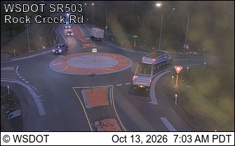
SR 503 at MP 13.7: Rock Creek Rd
SR 503 at MP 13.7: Rock Creek Rd · 25 km ›
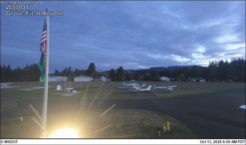
Grove Field Airport
Grove Field Airport · 25 km ›

No reports in the last 3 days.

All conditions and reports at Summit Springs Trailhead

Something wrong on this page? Suggest a correction.