Redmond Central Connector Trail
Hard · Out-and-back · 9.2 mi round trip · 2½–3¾ hr
Parkingnot reported today
A full day with sustained climbing; bring plenty of water.
No hiker reports in the last 3 days. Be the first to report here
At this trail
Pack it out.
Getting there
Starts at Redmond Central Connector Trailhead
Navigate to the trailhead: Google Maps · Apple Maps · coordinates 47.71111, -122.15360
Right now
⚠ Monday, Oct. 5, on most weeknights until Friday, Oct. 23 - The westbound SR 520 off-ramp to northbound I-5 and East Roanoke Street will close for construction nWSDOT · 14 km · Oct 6 · details ›
Daylight7:24 am 6:24 pm
Air qualityAQI 34 Good
WildfireLittle Bear fire, 14 km away
Cameras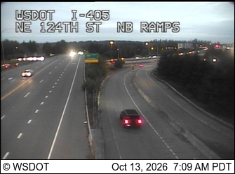
I-405 at MP 20.2: NE 124th St, NB Ramps · 2 km › 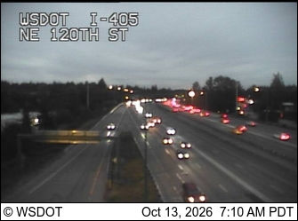
I-405 at MP 20.1: NE 120th St · 2 km ›
No reports in the last 3 days.
All conditions and reports at Redmond Central Connector Trailhead
Something wrong on this page? Suggest a correction.