Washington Trail Conditions

← All trailheads

Wiseman Lake Trail

Hard · Out-and-back · 9 mi round trip · 2,797 ft gain · 4–5¾ hr

EF
Parkingnot reported today

A full day with sustained climbing; bring plenty of water.

2,1004,800 0 mi 4.47 mi

Open the map ›

No hiker reports in the last 3 days. Be the first to report here

At this trail

Pack it out.

Parking passNorthwest Forest Pass, $5 per day or $30 per year or an America the Beautiful pass
PermitsDay hikes: none. Overnight: wilderness permit.
AreaMount Baker Ranger District ›
Mt. Baker-Snoqualmie National Forest U.S. Forest Service

Rules, passes and closures change. Check the official Forest Service site before you go.

Getting there

Starts at Elbow Lake Trailhead · 1 other trail starts here

⚠ Road closed: Middle Fork Nooksack Road (Forest Service Road 38) is closed at milepost 7 by a washout (July 27, 2026 notice); vehicle access to the Elbow Lake (Pioneer Camp) and Ridley Creek trailheads is blocked. official status (checked 2026-10-05)

Navigate to the trailhead: Google Maps · Apple Maps · coordinates 48.73484, -121.92638

Right now

Open in the app to report

⚠ Bell Creek Bridge DamagedThe approach and dismount of Bell Creek Bridge approximately 1/2 mile from FSR 12 on Elbow Lake Trail #697 is challenging due to gaps between the bridge and the trail caused by erosion and flood debris. The bridge…Forest Service · Jul 31 · details ›
ℹ Middle Fork Nooksack (FSR 38) Road ClosureMiddle Fork Nooksack Road (FSR) 38 is closed at Mile Post 7 due to a washout. Access to Elbow Lake 697 (Pioneer Camp) and Ridley Creek Trail 696 is blockedForest Service · Jul 27 · details ›
TodayAM49° 
TonightPM39°3%
TueAM49°20%
TuePM44°40%
WedAM51°40%
WedPM45°2%
ThuAM61° 
ThuPM49° 

Sunny, wind 2 to 7 mph · Full forecast ›

Daylight7:25 am 6:22 pm
Air qualityAQI 53 Moderate
WildfireElectric fire, 37 km away, 495 acres, 100% contained
Snow0″ snow at Elbow Lake (3,050 ft, 5 km away)
Typical year: usually melted out by about Jun 3 · typical peak Apr 1
Snow levelabout 3,800 ft now · 3,800–8,900 ft over the next three days
PassMt. Baker Hwy SR 542 24 km
Eastbound: No restrictions · Westbound: No restrictions · pass report ›
Cameras
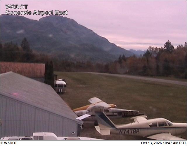
Mears Field (Concrete) Airport East
Mears Field (Concrete) Airport East · 26 km ›
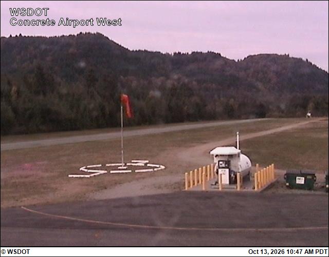
Mears Field (Concrete) Airport West
Mears Field (Concrete) Airport West · 26 km ›

No reports in the last 3 days.

All conditions and reports at Elbow Lake Trailhead

Something wrong on this page? Suggest a correction.