Admiralty Inlet Natural Area Preserve
Easy · Loop · 2.7 mi loop · 145 ft gain · 50 min–1¼ hr
Parkingnot reported today
Good for families, first hikes and short outings. Dogs on leash.
No hiker reports in the last 3 days. Be the first to report here
At this trail
Dogs on leash
Pack it out.
Official pageOfficial page ›
NoteWhidbey Camano Land Trust (with a DNR conservation easement
NoteDNR bought the last parcel in 2025), Admiralty Inlet Natural Area Preserve: trail from the gravel lot on Engle Road south of Coupeville
Notebluff-edge trail, stay behind the fences
Notedogs on leash
Parking passDiscover Pass at the state parks, $10 per day or $30 per year or an Not at state parks (state pass)
PermitsDay hikes: none. Overnight: wilderness permit.
AreaIsland parks (San Juan, Orcas, Lopez, Fidalgo, Whidbey and Camano islands, and Chuckanut): state parks, Ebey's Landing, San Juan Island National Historical Park, Anacortes forest lands and the Turtleback preserve › Washington State Parks, National Park Service, City of Anacortes, San Juan County Land Bank
Officialconditions › · roads › · fees › · permits ›
Rules, passes and closures change. Check the official park site before you go.
Getting there
Starts at Admiralty Inlet Preserve Trailhead
Navigate to the trailhead: Google Maps · Apple Maps · coordinates 48.17091, -122.67911
Right now
⚠ SR 116 is closed to all travelers between Shotwell Place and Chimacum Creek Drive. The highway will remain closed around the clock through the end of October. DWSDOT · 17 km · Aug 24 · details ›
TodayAM58°7%
TonightPM50°20%
WedAM62°35%
WedPM49°
ThuAM64°
ThuPM50°
FriAM68°3%
FriPM52°54%
Mostly Cloudy, wind 5 to 8 mph · Full forecast ›
Daylight7:27 am 6:26 pm
Air qualityAQI 28 Good
WildfireLittle Bear fire, 53 km away
Snow levelabout 9,200 ft now · 8,000–9,400 ft over the next three days
Cameras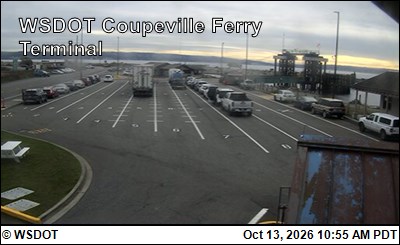
WSF Coupeville Terminal · 1 km › 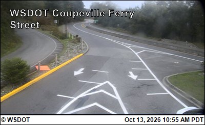
WSF Coupeville Street · 1 km ›
No reports in the last 3 days.
All conditions and reports at Admiralty Inlet Preserve Trailhead
Something wrong on this page? Suggest a correction.