⚠ Road closed: Dosewallips Road is closed to vehicles at the 2017 washout; the old trailheads are reached on foot or by bike (about 6 miles each way). official status(checked 2026-10-05)
Navigate to the trailhead:Google Maps · Apple Maps · coordinates 47.73716, -123.16687
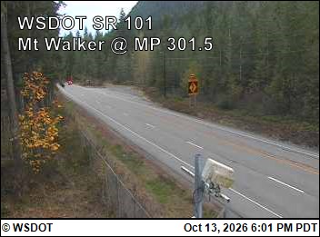
⚠ Highway 101 Overnight Closures at Hoh River Bridge, October 13-19These overnight Highway 101 closures cuts off the only direct route between some of the most popular areas of the park. There are no detours available. Taking alternate routes around the east side of the Olympic…National Park Service · Oct 13 · details ›
⚠ Bat Tests Positive for Rabies, Visitors Urged to Report Potential ContactA rabid bat was found at Olympic National Park near Staircase Bridge on August 9th. At approximately 2 p.m., the bat swooped down onto an unidentified woman and was temporarily caught in her hair. This individual is at…National Park Service · Oct 9 · details ›
⚠ Mora Road Closed for Essential RepairsMora Road is closed to all traffic, including bicycles and pedestrians, at the campground. Rialto Beach is not accessible via Mora Road during this construction period. Mora Campground is open. This construction work…National Park Service · Jul 8 · details ›
Staircase Developed Area is Open, Use Caution in Burned AreasThe Staircase developed area is open. The surrounding wilderness areas will remain closed as repair and recovery efforts continue. Use extreme caution when entering burned areas. Burned landscapes may contain falling…National Park Service · Jul 8 · details ›