Jay Lake
Hard · Out-and-back · 10.4 mi round trip · 1,594 ft gain · 3¾–5¼ hr
Big viewsWaterfallRiver or creek
Parkingnot reported today
A full day with sustained climbing; bring plenty of water.
No hiker reports in the last 3 days. Be the first to report here
At this trail
Getting there
Starts at Wallace Falls State Park Trailhead · 1 other trail starts here
Navigate to the trailhead: Google Maps · Apple Maps · coordinates 47.86700, -121.67810
Right now
Burn Ban Level 2Wood fires restricted to fire pits in designated areas. Gas and propane allowed. Charcoal may be restricted.Washington State Parks · Sep 18 · details ›
TodayAM60°7%
TonightPM51°17%
WedAM64°19%
WedPM51°
ThuAM73°
ThuPM54°
FriAM75°3%
FriPM53°81%
Mostly Cloudy, wind 0 mph · Full forecast ›
Daylight7:24 am 6:20 pm
Air qualityAQI 39 Good
WildfireLittle Bear fire, 37 km away
Snow0″ snow at Alpine Meadows (3,500 ft, 9.8 km away)
Typical year: normally snow-free now · usually melted out by about Jun 28 · typical peak Apr 19
Typical year: normally snow-free now · usually melted out by about Jun 28 · typical peak Apr 19
Snow levelabout 8,600 ft now · 8,100–9,200 ft over the next three days
Cameras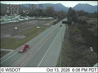
US 2 at MP 24.2: Rice Rd · 7 km › 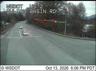
US 2 at MP 23.2: Sultan Basin Rd · 9 km ›
No reports in the last 3 days.
All conditions and reports at Wallace Falls State Park Trailhead
Something wrong on this page? Suggest a correction.