Buck Mountain (snowshoe route)
Strenuous · Out-and-back · 17.4 mi round trip · 2,318 ft gain · 6–8½ hr
Snowshoe route
Parkingnot reported today
A long, demanding day; experienced hikers in good shape.
No hiker reports in the last 3 days. Be the first to report here
At this trail
Pack it out.
Parking passNorthwest Forest Pass, $5 per day or $30 per year or an America the Beautiful pass
PermitsDay hikes: none. Overnight: wilderness permit.
AreaMethow Valley ›
Methow Valley Ranger District, Okanogan-Wenatchee National Forest U.S. Forest Service
Methow Valley Ranger District, Okanogan-Wenatchee National Forest U.S. Forest Service
Officialconditions › · roads › · fees › · permits ›
Rules, passes and closures change. Check the official Forest Service site before you go.
Getting there
Starts at Buck Mountain Winter Start
Navigate to the trailhead: Google Maps · Apple Maps · coordinates 48.55263, -120.18813
Right now
TodayPM58°1%
TonightPM40°4%
WedAM66°4%
WedPM41°
ThuAM63°
ThuPM38°
FriAM64°
FriPM45°20%
Mostly Sunny, wind 5 mph · Full forecast ›
Daylight7:19 am 6:14 pm
Air qualityAQI 18 Good
WildfireSinlahekin fire, 40 km away, 166,007 acres, 99% contained
Snow0″ snow at Muckamuck (4,470 ft, 24 km away)
Snow levelabout 8,500 ft now · 7,600–9,000 ft over the next three days
PassLoup Loup Pass SR 20 29 km
Eastbound: No current information available · Westbound: No current information available · 42°F · pass report ›
Eastbound: No current information available · Westbound: No current information available · 42°F · pass report ›
Cameras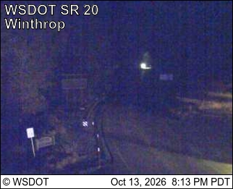
SR 20 at MP 192.5: Winthrop - Rader Rd · 8 km › 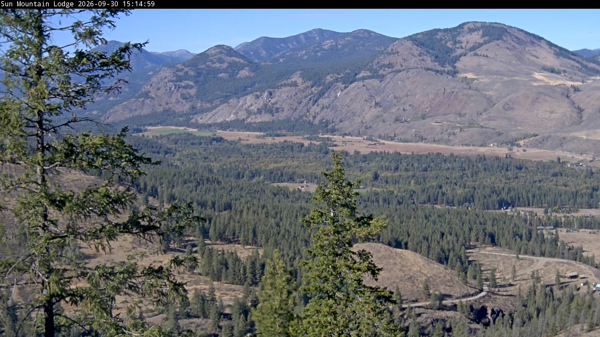
Winthrop · 10 km ›
No reports in the last 3 days.
All conditions and reports at Buck Mountain Winter Start
Something wrong on this page? Suggest a correction.