Porter Falls Trail
Easy · Out-and-back · 1.4 mi round trip · 158 ft gain · 30–40 min
WaterfallRiver or creek
Parkingnot reported today
Good for families, first hikes and short outings.
No hiker reports in the last 3 days. Be the first to report here
At this trail
Getting there
Starts at Porter Falls Trailhead
Navigate to the trailhead: Google Maps · Apple Maps · coordinates 46.97809, -123.25641
Right now
Daylight7:29 am 6:28 pm
Air qualityAQI 19 Good
Cameras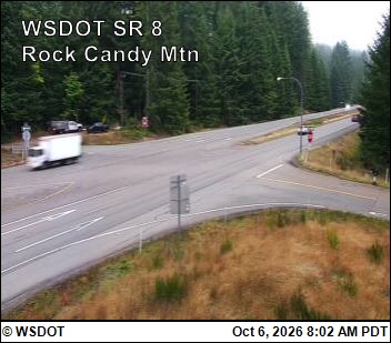
SR 8 at MP 16.1: Rock Candy Mountain · 13 km › 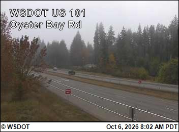
US 101 at MP 359: Oyster Bay Rd. · 21 km ›
No reports in the last 3 days.
All conditions and reports at Porter Falls Trailhead
Something wrong on this page? Suggest a correction.