Douglas Creek Canyon Trail - South
Hard · Out-and-back · 9.4 mi round trip · 182 ft gain · 2¾–4 hr
Waterfall
Parkingnot reported today
A full day with sustained climbing; bring plenty of water.
No hiker reports in the last 3 days. Be the first to report here
At this trail
Pack it out.
Getting there
Starts at Douglas Creek Canyon South Trailhead
Navigate to the trailhead: Google Maps · Apple Maps · coordinates 47.46144, -119.87259
Right now
TonightPM40°5%
WedAM68°5%
WedPM41°
ThuAM70°
ThuPM42°
FriAM71°
FriPM45°2%
SatAM68°2%
Mostly Cloudy, wind 1 mph · Full forecast ›
Daylight7:16 am 6:14 pm
Air qualityAQI 11 Good
WildfireAncient Lakes fire, 35 km away, 15 acres
Snow levelabout 8,500 ft now · 7,400–9,000 ft over the next three days
Cameras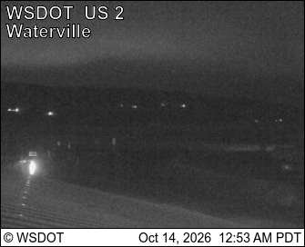
US 2 at MP 149.3: (View S.W.) · 25 km › 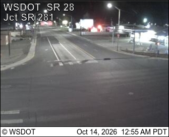
SR 28 Junction SR 281 at MP 29.77 · 25 km ›
No reports in the last 3 days.
All conditions and reports at Douglas Creek Canyon South Trailhead
Something wrong on this page? Suggest a correction.