Anacortes Community Forest Lands (Whistle Lake)
Moderate · Loop · 5.8 mi loop · 1,073 ft gain · 2–3 hr
Summit or lookout
Parkingnot reported today
A solid half-day for most hikers.
No hiker reports in the last 3 days. Be the first to report here
At this trail
Dogs on leash No fee or pass
Pack it out.
PermitsDay hikes: none. Overnight: wilderness permit.
AreaIsland parks (San Juan, Orcas, Lopez, Fidalgo, Whidbey and Camano islands, and Chuckanut): state parks, Ebey's Landing, San Juan Island National Historical Park, Anacortes forest lands and the Turtleback preserve › Washington State Parks, National Park Service, City of Anacortes, San Juan County Land Bank
Officialconditions › · roads › · fees › · permits ›
Rules, passes and closures change. Check the official park site before you go.
Getting there
Starts at Anacortes Community Forest Lands Trailhead (Trail 312)
Navigate to the trailhead: Google Maps · Apple Maps · coordinates 48.47442, -122.62653
Right now
TonightPM42°
TodayAM59°
MonPM44°2%
TueAM58°5%
TuePM49°33%
WedAM61°33%
WedPM48°2%
ThuAM63°
Mostly Clear, wind 2 mph · Full forecast ›
Daylight7:29 am 6:23 pm
Air qualityAQI 13 Good
Snow levelabout 4,300 ft now · 4,000–9,100 ft over the next three days
Cameras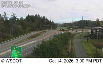
SR 20 at MP 47.8: Sharpes Corner (SR 20 Spur) · 4 km › 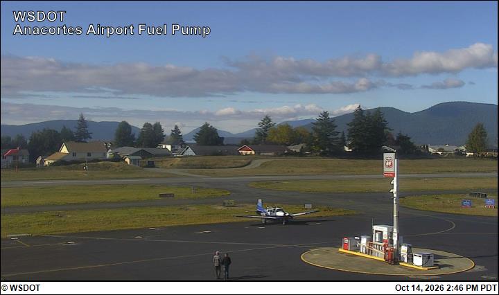
Anacortes Airport Fuel Pump · 4 km ›
No reports in the last 3 days.
All conditions and reports at Anacortes Community Forest Lands Trailhead (Trail 312)
Something wrong on this page? Suggest a correction.